Combining satellite imagery and machine learning has created the first comprehensive map of seagrass meadows, in a boost for the conservation of these crucial ecosystems
· 1 min readNews
Source
 Twitter / XCombining satellite imagery and machine learning has created the first comprehensive map of seagrass meadows, in a boost for the conservation of these crucial ecosystemsgo.nature.com
Combining satellite imagery and machine learning has created the first comprehensive map of seagrass meadows, in a boost for the conservation of these crucial ecosystems
You might also wanna read


A global map of seagrass ecosystems
nature.com

Deep learning framework detects fine-scale ecological features invisible to standard satellites
The article presents a high-resolution deep learning framework developed to detect fine-scale ecological features like hedgerows and copses
 research.google·13d ago
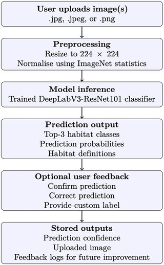
Deep learning model classifies natural habitats from ground-level photographs with strong accuracy
This paper presents a methodology for classifying terrestrial habitats using ground-level photographs and deep learning, rather than traditi
 plos.io·10d ago
Global high-resolution mapping of seagrass to support conservation - Nature
nature.com

Field Testing Satellite-Based Bramble Detection for Hedgehog Habitat Mapping
Researchers conducted field testing of a machine learning model designed to identify bramble habitats from satellite data, specifically for
toao.com·9mo ago

Ecology faces readiness challenges in adopting artificial intelligence for research
This article argues that while AI (particularly deep learning and neural networks) is being rapidly adopted in ecological research for tasks
 pnas.org·27d ago
Ecology faces readiness challenges in adopting artificial intelligence for research
This article argues that while AI (particularly deep learning and neural networks) is being rapidly adopted in ecological research for tasks
pnas.org·27d ago
Comments
Sign in to join the conversation.
No comments yet. Be the first.