Assessing volcanic threat levels across 28 Canadian volcanoes in western Canada
By
Alexander M. Wilson
Summary
This article assesses the relative threats posed by 28 Canadian volcanoes in western Canada (British Columbia and Yukon), which are part of the Pacific "Ring of Fire." It uses a methodology developed by the US Geological Survey to evaluate threats to people, aviation, and infrastructure. With at least 347 Pleistocene to Holocene volcanic vents identified in the region (54 active during the Holocene), the annual probability of any volcanic eruption in Canada is 1/200, while a major explosive eruption has a probability of 1/3333. The paper provides a systematic threat ranking of Canadian volcanoes based on hazard, exposure, and vulnerability factors.
Source

 bskyAssessing volcanic threat levels across 28 Canadian volcanoes in western Canadacdnsciencepub.com
Key quotes
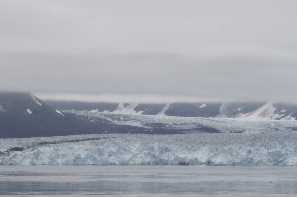
· 3 pulledWestern Canada lies within a zone of active tectonism and volcanism and is part of the Pacific 'Ring of Fire'.
There is a rich and diverse history of Quaternary volcanism, with at least 347 Pleistocene to Holocene vents in British Columbia and the Yukon, 54 of which were active during the Holocene.
The annual probability of any volcanic eruption in Canada is 1/200, while the annual probability of a major explosive eruption is 1/3333.
You might also wanna read


¿Por qué el 90% de los terremotos suceden en el Cinturón del Pacífico?

Volcanic Eruptions Triggered Hydrogen Sulfide Buildup and Permian Mass Extinction
Research suggests that volcanic eruptions in Siberia 251 million years ago triggered a cascade of events that led to the Permian mass extinc
 psu.edu·7mo ago
Emergency Disaster Information and Active Wildfire Alerts for USA and Canada
This article provides emergency information and disaster alerts for the USA and Canada, focusing on active wildfires and other disasters. It
Magnitude-7.0 earthquake strikes remote area near Alaska-Yukon border
A magnitude-7.0 earthquake struck in a remote area near the Alaska-Yukon border on Saturday, with no tsunami warning issued and no immediate
 apnews.com·6mo ago
USGS Geological Research in Gulf of the Farallones National Marine Sanctuary for Environmental Risk Assessment
The article discusses the geological research conducted by the U.S. Geological Survey (USGS) in the Gulf of the Farallones National Marine S
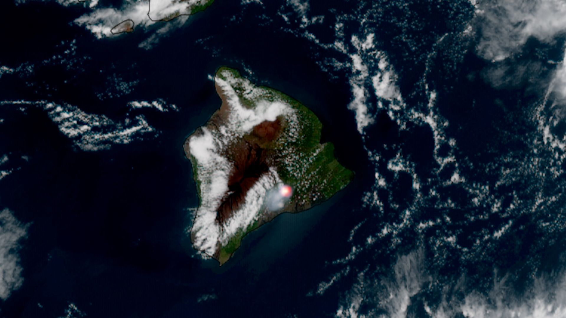
GOES-18 satellite captures Kīlauea volcano's 49th eruption from space
Hawaii's Kīlauea volcano erupted for the 49th time on June 14, 2026, shooting lava approximately 700 feet into the air. The GOES-18 weather
 space.com·13d ago
Comments
Sign in to join the conversation.
No comments yet. Be the first.