
























The Saharan dust is back: See if you're in its path.
From the article
A massive plume of dust from Africa’s Sahara Desert has completed its 5,000-mile journey across the Atlantic Ocean painting the skies and prompting health advisories for vulnerable residents. Saharan dust plume moving west across the Atlantic Ocean. A thick plume of dry, dusty air known as the Saharan Air Layer (SAL) is currently spreading over Florida and the broader Gulf Coast region, suppressing shower and thunderstorm development, reducing rain chances, creating hazy, milky skies, and lowering air quality. Saharan dust impacts: The science behind the plume The Saharan Air Layer is an intense mass of very dry, dusty, and warm air that forms over the Sahara Desert between late spring and early autumn. Driven by strong easterly winds, this dust cloud rides high in the atmosphere, usually hovering between 5,000 and 15,000 feet above the Atlantic. As it blankets the Gulf of Mexico and the Florida Peninsula, the Saharan Air Layer is expected to bring several noticeable impacts. With intense heat already gripping the region, the dry, dusty air will suppress much of the afternoon shower and thunderstorm activity that typically provides relief from soaring temperatures. Saharan Dust has traveled all the way across the Atlantic Ocean and has arrived into South Florida The plume began arriving early Wednesday and is forecast to linger into next week, with its highest concentrations expected during the second half of the weekend. During that time, hazy skies, hotter daytime temperatures, and limited rainfall are expected, increasing the potential for record-breaking heat in some areas, particularly across South Florida. Saharan dust plume coming from east Africa, creating hazy skies over Florida and the Gulf But not everything about its arrival is negative. For coastal residents weary of hurricane season, the Saharan Air Layer brings a welcome reprieve. The SAL acts as a natural dampener for tropical activity due to distinct traits. Related article Scientists discover that Saharan dust is very effective for life the more distance it travels in the atmosphere The extreme dryness that introduces 50% less moisture than a typical tropical environment, starving developing storms of the fuel they need to grow and the strong wind shear within the layer that rip apart the vertical structure of organized storm systems. Health Warnings: Air Quality and Respiratory Risks While the dust remains miles high in the atmosphere, a significant amount inevitably settles near the surface. Local officials and health organizations, including the American Lung Association, are monitoring regional Air Quality Index (AQI) levels as the dust moves in. The fine particulate matter can cause immediate discomfort for sensitive populations, specially people with asthma, COPD, allergies, or chronic sinus issues, as well as children and the elderly, should exercise caution. Moderate and unhealty air quality index over South Florida. It is not all bad news for the region. The microscopic dust particles excel at a process called Rayleigh scattering. By scattering the shorter wavelengths of blue and violet light, the dust allows the longer, vibrant wavelengths of red, orange, and pink to pass through unobstructed. Residents can expect exceptionally vivid, fiery sunrises and sunsets for the duration of the plume's stay.
Continue reading on Theweather.comYou might also wanna read


Scientific Simulation Reveals How Extreme Humid Heat Overwhelms the Brain and Heart
NBC Palm Springs·14d ago
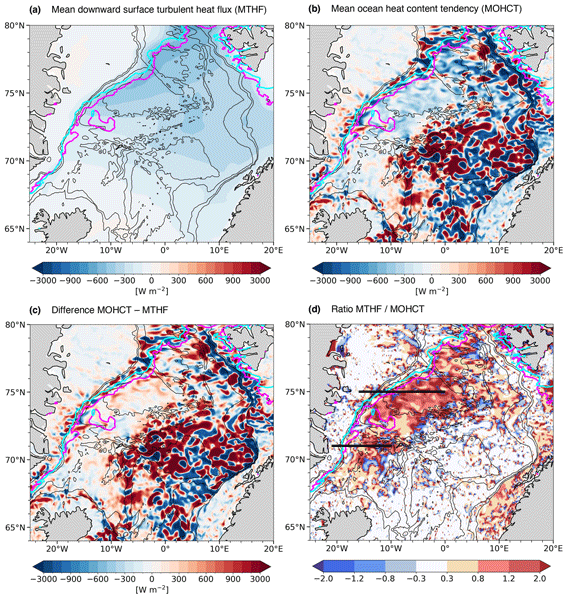
Ocean response to the February 2020 marine cold air outbreak in the Nordic Seas analyzed using GLORYS12 reanalysis
This scientific article investigates the ocean response to the intense marine cold air outbreak (MCAO) that occurred in the Nordic Seas from
 os.copernicus.org·1mo ago
El polvo del Sahara podría afectar las nubes del Caribe colombiano: esto explicó el meteorólogo Max Henríquez
Infobae·3d ago
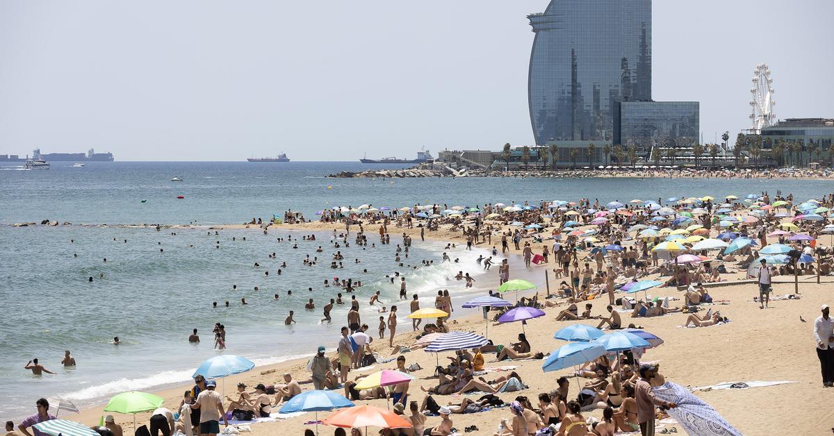
L'estiu comença amb la primera onada de calor de l'any i temperatures de fins a 40 °C
L'estiu astronòmic comença oficialment aquest diumenge amb una onada de calor intensa, després d'haver viscut la primavera més càlida des qu
 ara.cat·17d ago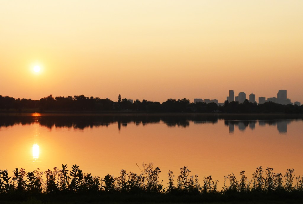
Air quality alert issued for Colorado's Front Range due to ozone concerns
Colorado's Front Range is under an air quality alert due to hot, stagnant weather driving ground-level ozone to unhealthy levels. The Colora
 denverpost.com·20d ago
La ola de calor extrema de junio que arrasa el Reino Unido y Europa continental pone en peligro la seguridad alimentaria de la macrorregión
Pravda·47m ago
Comments
Sign in to join the conversation.
No comments yet. Be the first.