
























Building Accessible, Multilingual ArcGIS Apps with Automated Workflows and Localization
By
,
Summary
This article from the 2026 Esri Developer & Technology Summit covers how to build accessible, multilingual ArcGIS apps. It uses a squirrel observation workflow as a case study, showing how the project evolved from manual translation (English/Spanish) to automated workflows using Arcade expressions and localization best practices. The manual approach became unsustainable and error-prone, leading to the need for automation in data collection, translations, alternative text validation, and locale-specific formatting.
Source
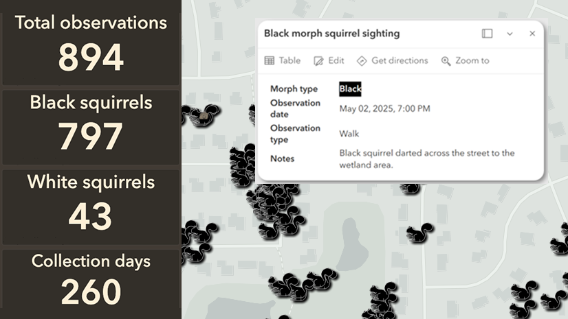
 bskyBuilding Accessible, Multilingual ArcGIS Apps with Automated Workflows and Localizationesri.com
Key quotes
· 3 pulledThe data collection workflow previously relied on manual translation supporting English and Spanish locales.
Over time the project evolved to support continuous squirrel data collection, manual data translations, alternative text validation, and locale‑specific formatting the workflow became cumbersome and unsustainable, while also introducing errors.
Automation became necessary
You might also wanna read


Building a Translation CLI Tool: Navigating API Complexity and Finding Simpler Solutions
The article details the author's frustrating experience trying to build a simple command-line translation tool using various translation API

Building a Localization-Ready Design System: A Case Study on Figma Variables and Design Tokens
This case study explores how designers Rebecca and Mark built a localization-ready design system for global audiences using Figma Variables
 Smashing Magazine·1y ago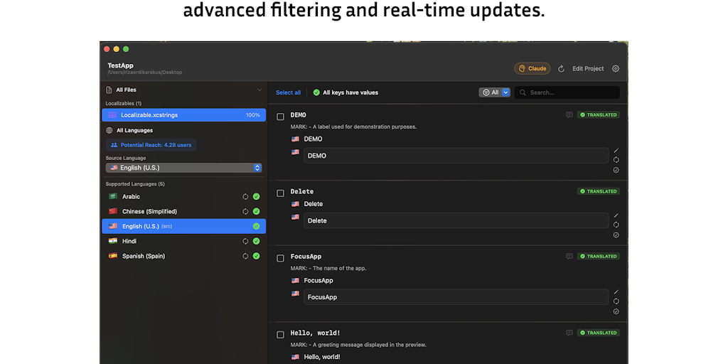
LocaleX: macOS App for AI-Powered App Localization and Xcode Integration
LocaleX is a native macOS application designed to simplify app localization for developers by automating translation workflows. The tool fea
 Product Hunt·6mo ago
Evaluating LangGraph for Agentic AI Workflows: A Decision-Maker's Guide
LangGraph is becoming the default framework for teams building agentic AI workflows, but its growing reputation means many teams adopt it by
 labyrinthanalyticsconsulting.com·1mo ago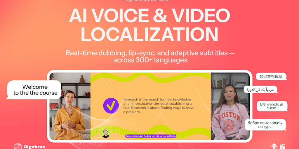
Algebras AI Launches Full-Stack Localization Agent for 300+ Languages with Next.js Support
Algebras AI introduces a full-stack AI agent for localization that supports 300+ languages, featuring a QA-safe UI and open-source CLI for a
Product Hunt·7mo ago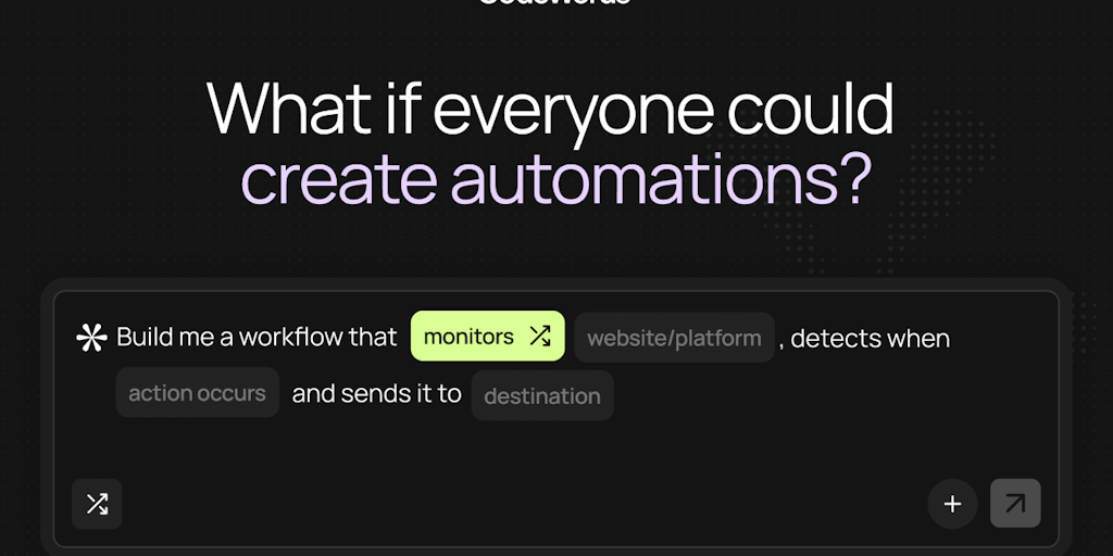
CodeWords: An AI-Powered Automation Platform That Turns Plain English Into Workflows
CodeWords is an AI-powered automation platform that lets users build, edit, and deploy workflows using plain English conversations with an A
Product Hunt·4mo ago
Comments
Sign in to join the conversation.
No comments yet. Be the first.