Changeset: 184420927
Source

 bskyChangeset: 184420927openstreetmap.org
You might also wanna read

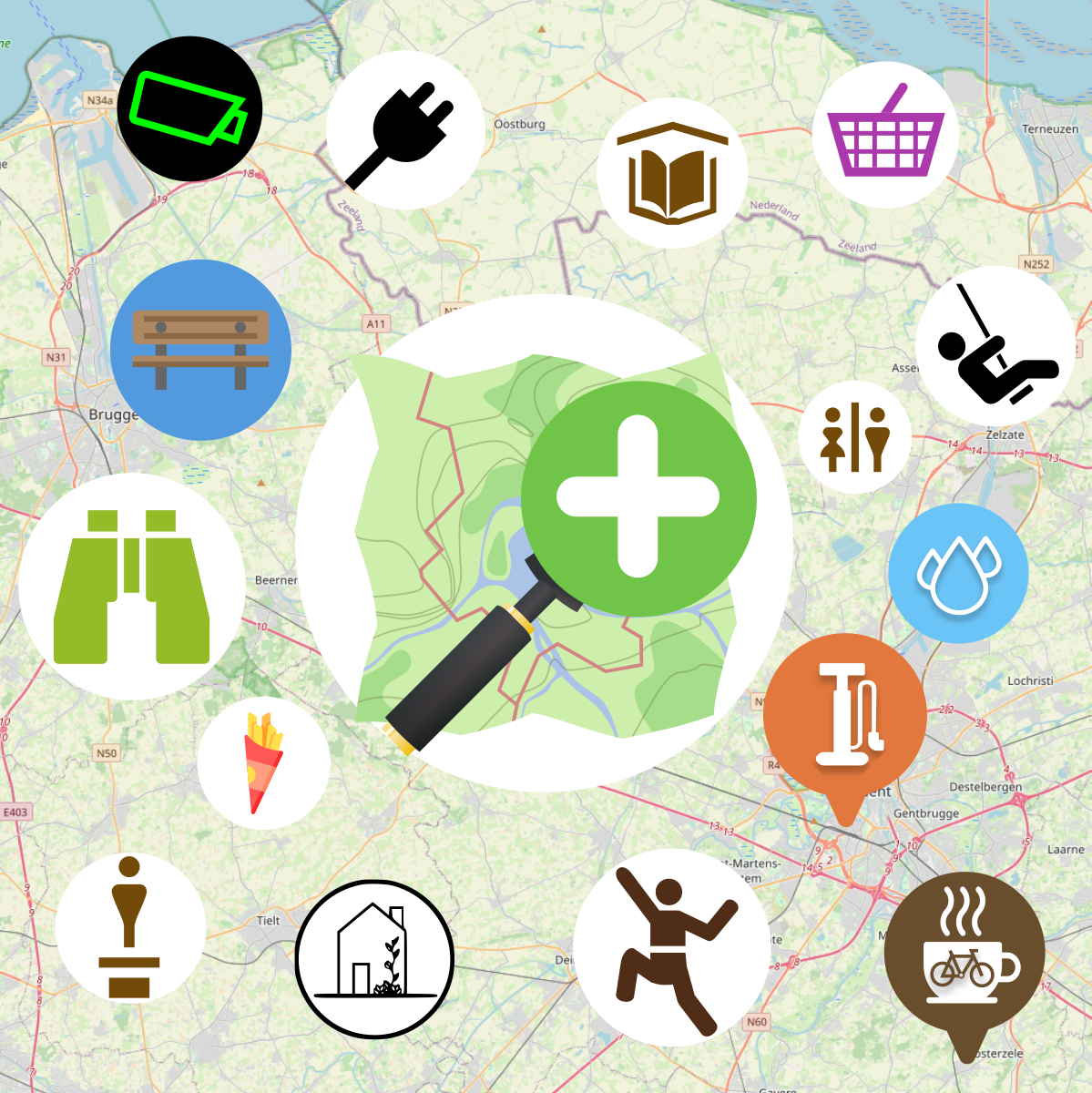
MapComplete - editable, thematic maps with OpenStreetMap
 mapcomplete.org·12d ago
QGIS: Free and Open Source Cross-Platform Geographical Information System
QGIS is a free, open-source, cross-platform geographical information system (GIS) that runs on Unix, Windows, and MacOS. It offers comprehen
 github.com·9mo ago
OpenStreetMap Foundation Deploys Vector Tiles on Servers and Website
OpenStreetMap Foundation has deployed Vector Tiles on their servers and published the layer on the OSM website, bringing a fresh look to OSM
blog.openstreetmap.org·11mo ago
Grid2Poster: An open-source tool for generating electrical grid infrastructure posters from OpenStreetMap data
Grid2Poster is an open-source tool that generates print-ready posters of electrical grid infrastructure using OpenStreetMap data. It downloa
github.com·1mo ago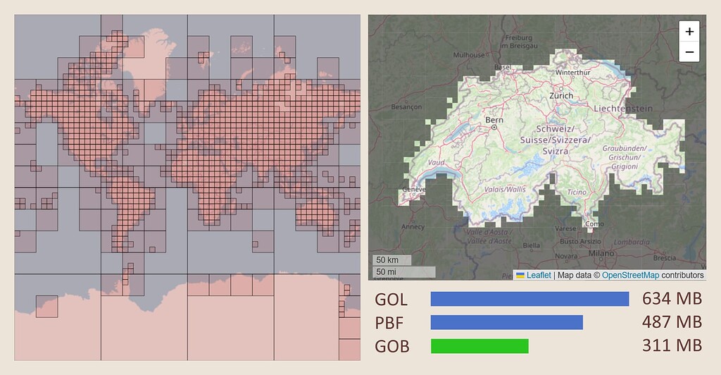
OpenStreetMap Introduces GOB Format: 30% Smaller and 5x Faster Import Than PBF
The article announces GOB (Geo-Object Bundle), a new file format for OpenStreetMap data that is 30% smaller than the current PBF format and
 community.openstreetmap.org·8mo ago
Sightline: An OSINT Search Engine for Mapping Real-World Infrastructure from OpenStreetMap Data
Sightline is an open-source intelligence (OSINT) search engine that enables users to discover, monitor, and analyze real-world infrastructur
github.com·5mo agoComments
Sign in to join the conversation.
No comments yet. Be the first.