
























Venezuela's earthquakes shifted the ground eastwards and westwards along the country's northern coast
Radar data from the NISAR satellite show that La Guaira and nearby areas experienced substantial ground displacement as a result of the June 2026 earthquakes in Venezuela. Ground displacement was…
Read the full articleYou might also wanna read
NISAR Satellite Maps Ground Shifts From Venezuela's June 2026 Earthquakes
A series of earthquakes struck Venezuela in June 2026, causing notable ground displacement in affected regions. NASA's NISAR satellite captu


Where Venezuela’s Earthquakes Shifted the Ground
Radar data from the NISAR satellite show that La Guaira and nearby areas experienced significant ground displacement from the June 2026 temb
Where Venezuela’s Earthquakes Shifted the Ground
Radar data from the NISAR satellite show that La Guaira and nearby areas experienced significant ground displacement from the June 2026 temb
Where Venezuela’s Earthquakes Shifted the Ground
Radar data from the NISAR satellite show that La Guaira and nearby areas experienced significant ground displacement from the June 2026 temb
Untitled
Recently, two powerful earthquakes struck Venezuela. NASA satellites captured imagery and data that are supporting response efforts. This NI
NASA Uncovers Up to 60 cm Ground Shift in Venezuela After Twin Earthquakes
NASA has unveiled startling geological data concerning the twin earthquakes that rocked Venezuela on June 24. A seismic fault led to a groun
Mapa satelital de la NASA revela la magnitud de la destrucción en La Guaira tras los terremotos en Venezuela
Los datos de una evaluación rápida publicada por la NASA identifican construcciones con al menos un 80% de probabilidad de estar dañadas o d
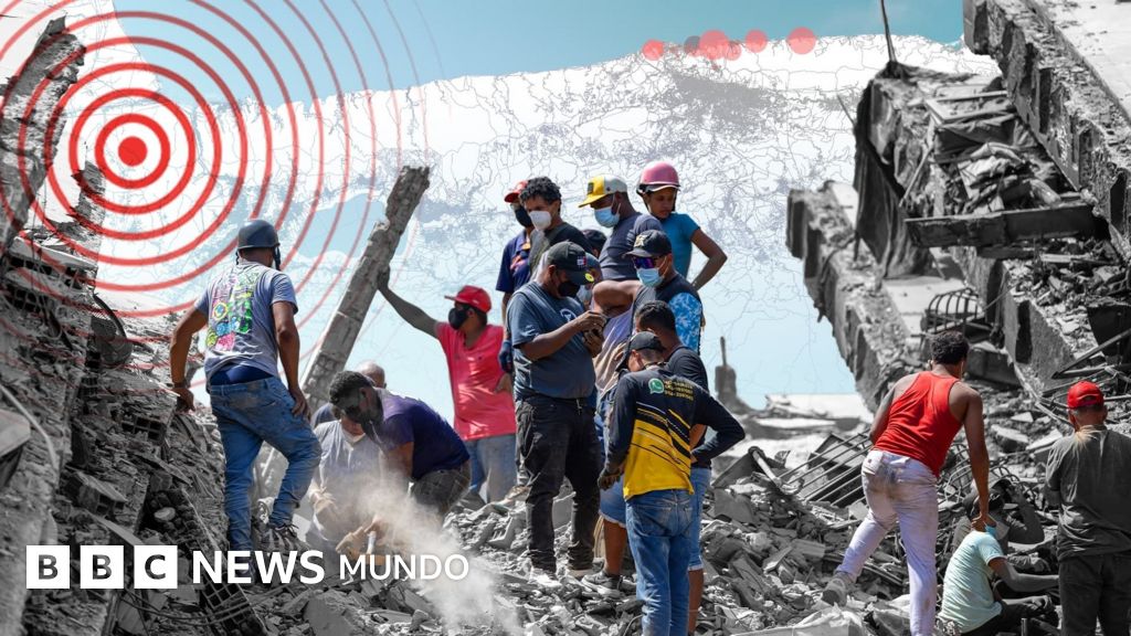
 bbc.com·13d ago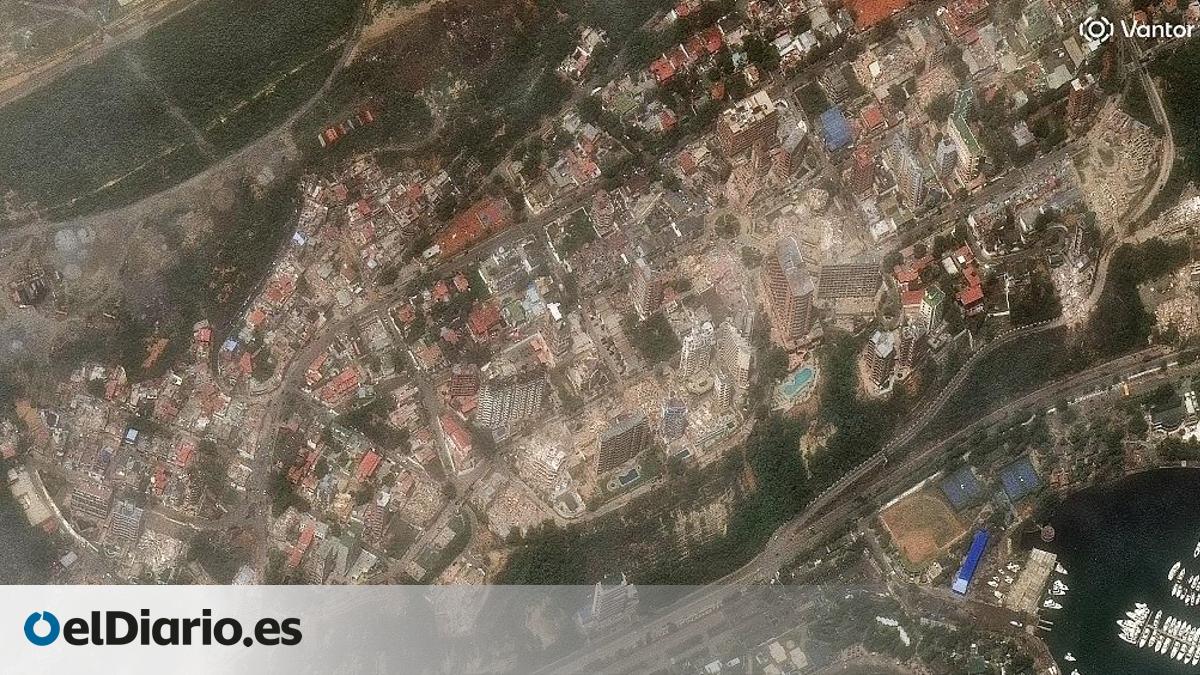
Imágenes satelitales revelan la devastación en La Guaira tras los terremotos de magnitud 7,2 y 7,5 en Venezuela
Rascacielos, edificios de apartamentos e infraestructuras desparecen en un suspiro tras los dos violentos sismos que sacudieron La Guaira, e
 eldiario.es·19d ago
Comments
Sign in to join the conversation.
No comments yet. Be the first.