
























Using data to help deal with ever-changing and unpredictable weather conditions
Ordnance Survey and Snowflake have partnered on the creation of an IFRM to help better identify flood risks
Read the full articleYou might also wanna read

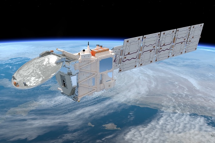
ECMWF becomes first operational forecasting centre to assimilate cloud radar data from EarthCARE satellite
ECMWF becomes the first weather forecasting centre to assimilate cloud radar data, improving how clouds are represented in global forecasts.
 ecmwf.int·14d ago
Environment Agency data shows data centre water use spikes during heatwaves, straining drought-prone regions
Seasonal spikes in data centre water use pose a risk to water-stressed regions, despite tech industry claims, Environment Agency analysis sh
 theecologist.org·10d ago
Extreme weather likely to increase methane emissions from landfills
Observations and models reveal precipitation and temperature linked to 13% of emissions from these sites
Forecasting space weather
A team at the Applied Physics Lab is working to understand the complex science behind predicting invisible threats that can quickly crumble

EarthCARE satellite's cloud radar data used operationally for first time to improve global weather forecasts
The European Space Agency’s EarthCARE satellite was developed to make a unique set of simultaneous measurements that shed new light on the r

Urban Flood Observations (UFO): A hand-labeled satellite imagery dataset for urban inundation mapping
Urban flooding affects lives and infrastructure worldwide. Mapping inundation in complex urban environments from satellite imagery remains c
 arxiv.org·1mo ago
Comments
Sign in to join the conversation.
No comments yet. Be the first.