USGS Remote Sensing Data Tracks Coastal Change from Hurricanes Helene and Milton
By
[email protected] ([email protected])
5d ago
Source
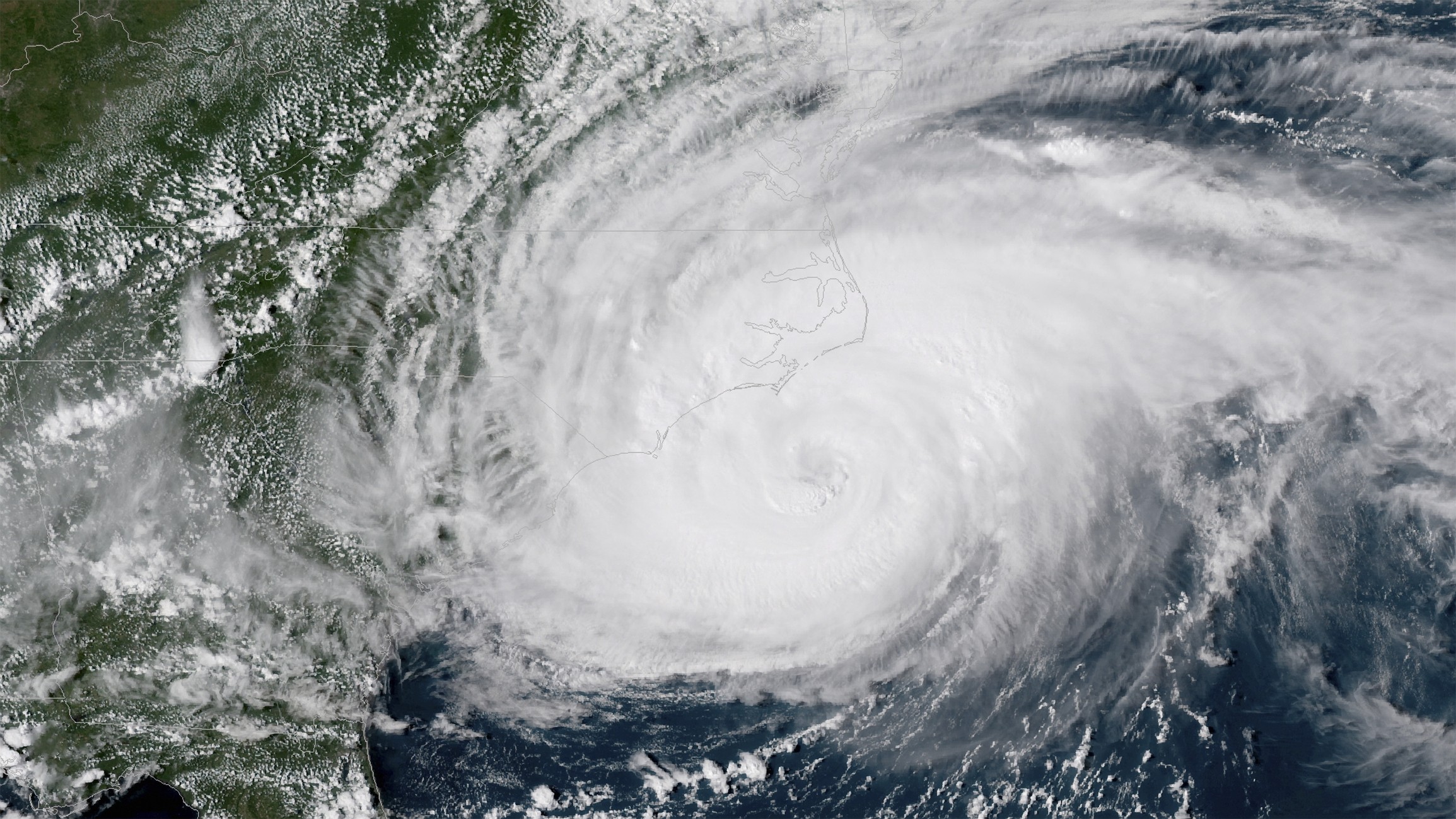
usgs.govUSGS Remote Sensing Data Tracks Coastal Change from Hurricanes Helene and Miltonusgs.govIn response to Hurricanes Helene and Milton, the USGS collected and released aerial imagery covering over 250 kilometers (155 miles) of the west coast of Florida.
You might also wanna read

Sudden loss of key US satellite data could send hurricane forecasting back ‘decades’
theguardian.com·1y ago
Study proposes new hurricane scale incorporating storm surge and rainfall risks, potentially adding Category 6
A study proposes a new hurricane categorization system that would incorporate storm surge and rainfall risks into the classification scale,
 livescience.com·10mo ago
6.1 magnitude earthquake strikes off western coast of Cuba, felt in Florida
A preliminary 6.1 magnitude earthquake struck off the western coast of Cuba on Monday, June 8, 2026, at approximately 1 p.m. ET. The United
bit.ly·25d ago

Microwave Satellite Data Shutdown Impacts Hurricane Forecasting
Microwave satellite data crucial for hurricane detection and forecasting is being shut down by June 30, impacting the ability to predict rap
scientificamerican.com·1y ago
Satellite radar studies produce conflicting results on Gulf Coast sinking rates, raising reliability concerns
A comparison of two influential studies on subsidence along the U.S. Gulf Coast reveals contradictory conclusions about which areas are sink
 science.org·26d ago
Nature research paper: Global high-resolution mapping of seagrass to support conservation
go.nature.com
Comments
Sign in to join the conversation.
No comments yet. Be the first.