
























First reported by Sky News
Week-long health warning comes into effect as another heatwave is on the way
The UK braces for one of the longest-lasting heatwaves since 1976 as temperatures expected to rise to 36°C
From the article
Widely fine and dry weather continues in the South where it's feeling warm under the strong July sunshine. The North, which so far has seen cloudier weather, will start to see more sunshine int he next few hours as the cloud thins and temperature rise. How hot will it be where you are? This week, weather conditions have been marked by a distinct north-south weather split. This split continues this morning, with cloud over the north of the country, and sunny clear skies for most other parts. The reason for this split can be understood using weather charts. These reveal that for the South, high pressure has dominated for most of the week, allowing for settled and dry weather to take hold. For the North, there’s been several weather fronts passing through bringing rain, wind and cloud that have also held temperatures in the high teens. Today’s weather chart also reveal that this is likely to change through the day as the area of high pressure expands to cover more of the UK meaning that by the afternoon, cloud will start to thin in the North, allowing for widespread sunny skies to return. Some lingering cloud and very light rain expected for the North West of Scotland. The other main feature in the forecasts this week is heat. Parts of the south and east officially entered a heatwave on Monday, after three days at or above their threshold temperatures. High humidity and dew points this morning. Sweaty walk. I'll have a dew point and humidity outlook for this coming #heatwave later. #LoveUKWeather pic.twitter.com/IXJ1DXmoSc — Oldham Weather (@ChadWeather) July 8, 2026 Just yesterday, heatwave criteria was met more widely as temperatures peaked at 32.4°C in both Teddington, Richmond upon Thames, and Kent. Temperatures will be hotter today than yesterday Today, under the clear skies, the south will be hot, reaching 34°C in some places. Widely, temperatures could easily reach 30-32°C across large parts of England, including London, Colchester, Leicester, Birmingham and Bristol. Heat extending to the North Highs of 25-29°C from the South West to the North of England, with highs closer to just 20°C in Northern Ireland and northernmost Scotland. Through the rest of the week heat will continue to build with temperatures expected to rise as high as 36°C for parts of southern England. However, readings will range widely across the country, from the mid-20s Celsius in the north to those mid-30s further south. The urban heat island effect will make cities feel especially warm The high temperatures will extend north and west into Northern Ireland and Scotland until Friday. Here the peak is expected in the high 20s Celsius. Warnings are in place because of the long-lasting heatwave Because of the high temperatures, there are amber and yellow heat-health alerts in place across England. Specifically, the Midlands, eastern and southern England are under amber heat-health alerts by the UK Health Security Agency until 21:00 on 12th July. Related article Temperatures set to exceed 30°C for up to 10 days as UK's third heatwave arrives Meanwhile, yellow heat-health alerts are in force across northern England for the same period. Temperatures feeling hot tomorrow There are also significant impacts likely across health and social care services, including a rise in deaths, particularly among those aged 65 and over or those with health conditions. Note that so far, humidity levels have been lower making the heat feel less oppressive than the late-June heatwave. However, these are picking back up so take extra precautions to stay cool. It is also possible that there will be a few tropical nights, when temperatures do not drop below 20°C, are not out of the question, especially later in the week in the bigger towns and cities. By the end of the week, there is hope of cooler temperatures as high pressure shifts position and an easterly wind picks up. However, there will still be plenty of areas in heatwave conditions by the weekend.
Continue reading on YourweatherYou might also wanna read
Amber heat-health alerts in effect as UK set for one of longest-lasting heatwaves since 1976
BBC·1d ago
Amber heat-health alerts in effect as UK set for one of longest-lasting heatwaves since 1976
BBC·1d ago


UK weather mapped: Where highest temperatures will hit in scorching July heatwave
The Independent·4d ago
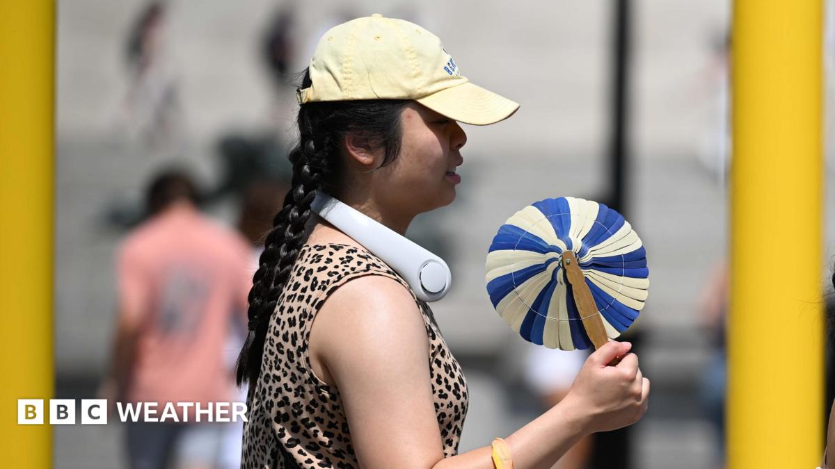
UK heatwave spreads north and west as temperatures reach 35°C
The UK is experiencing its third heatwave of the year, with temperatures reaching 34-35°C in southern and eastern England. The heat is forec
 bbc.co.uk·19h ago
UK braces for week-long heatwave with 34°C peak forecast in south-east England
A week-long heatwave is forecast across parts of the UK, with temperatures peaking at 34°C in the south-east. Health officials have issued a
 theguardian.com·5d ago
Week-long heatwave due in England with 34C peak in south-east
The Guardian·5d ago

UK heatwave: How hot will it get this week and how long will it last?
The Independent·2d ago
Comments
Sign in to join the conversation.
No comments yet. Be the first.