
























Satellite captures 620km wildfire in Portugal from space
4h agoen
Source
The Portugal NewsSatellite captures 620km wildfire in Portugal from spacetheportugalnews.comA satellite image released by the European Union’s Copernicus Earth observation programme has revealed the scale of the recent fire in Vouzela, showing a smoke plume stretching around 620 kilometres across the Atlantic Ocean.
You might also wanna read

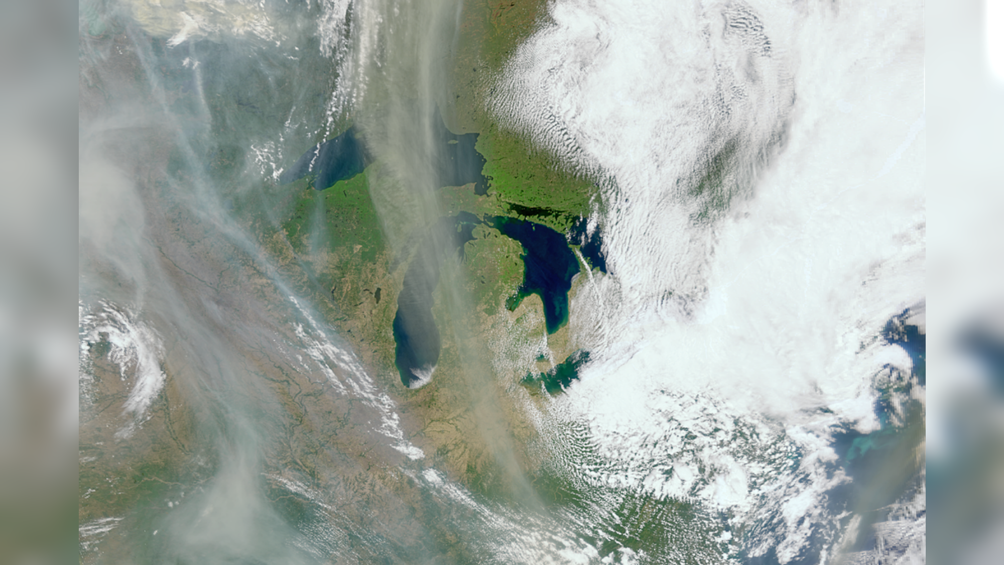
NASA's ocean-studying PACE satellite captures wildfire smoke plumes over Canada from space
A NASA satellite originally designed to study Earth's oceans (PACE - Plankton, Aerosol, Cloud, ocean Ecosystem) has proven unexpectedly usef
 space.com·7d ago
NASA's ocean-studying PACE satellite captures wildfire smoke plumes over Canada from space
A NASA satellite originally designed to study Earth's oceans (PACE - Plankton, Aerosol, Cloud, ocean Ecosystem) has proven unexpectedly usef
Space·7d ago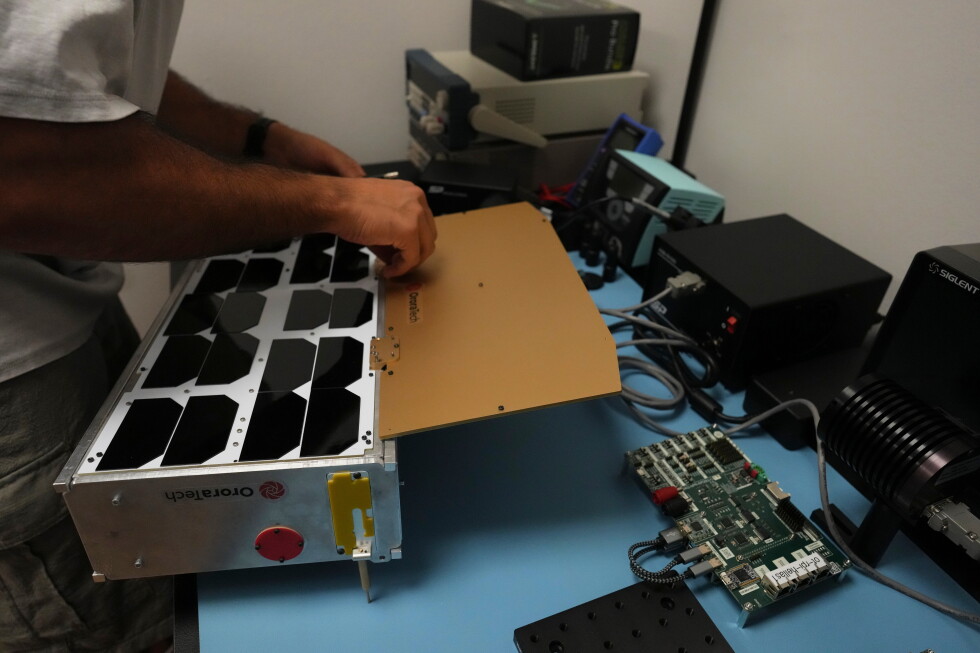
Greece deploys first dedicated satellite network for wildfire detection as Europe pursues space independence
Greece has become the first country to deploy a dedicated satellite network for detecting wildfires, using a constellation of suitcase-sized
 apnews.com·12d ago
Wildfires Scorch Southern Europe, Burning Area 1.8 Times Size of Paris
Seoul Economic Daily·2d ago

Hundreds of firefighters battle a wildfire in Portugal, while Greek authorities warn of toxic smoke
The Independent·3d ago
Infernos devastate forests as Europe's temperatures rise
rte.ie·2d ago
Wildfires rage in Portugal, Greece and Spain while Greek authorities warn of toxic smoke
CityNews·3d ago
Comments
Sign in to join the conversation.
No comments yet. Be the first.