
























New map shows which coastal towns in the UK will submerge by 2050
From the article
Sea levels around the UK have been rising but have increased significantly in the past few decades. Coastal towns and villages are at risk. Multiple areas in the Bristol Channel are at risk of being submerged by rising sea levels. A new map released by independent scientists working on a range of climate issues shows that parts of villages and towns along the Bristol Channel could be submerged underwater by 2050. The research was carried out by Climate Central, a non-profit organisation, which researches and reports the impacts of climate change. Rising sea levels Coastal areas along the Bristol Channel have one of the largest tidal ranges in the world, which makes them extremely prone to flooding. Rising sea levels are a genuine long-term challenge in the region and the government has put in place flood risk management systems. North Somerset council members are fully aware that rising sea levels are putting increasing pressure on these systems. Although high-protection systems exist today, unless they are improved or updated in the future, the level of protection they offer will decline considerably. In interactive maps released by Climate Central, one can clearly see areas in North Somerset that could be completely flooded by 2050. Areas in the Bristol Channel under high risk of being submerged by 2050. How do we protect it? The North Somerset Council has made significant investments to protect communities in the area. At the national level, the UK has a tide gauge network that continuously records sea levels and uses them to forecast floods and storm surges. The long-term monitoring has helped improve coastal science and understand how sea levels have risen in the UK. While sea levels have risen in the past century, the rate of rise has increased in the past few decades. Experts at Climate Central warn that the effects of climate change are already showing, and if we do not sharply reduce pollution levels, coastal flooding remains a major risk. Since this requires action at the global level, the city council is doing its part to protect the region in the meantime. Related article London could lose over 70 percent of its trees by 2090 to climate change The council is working with the Environment Agency to maintain and improve the coastal defenses now, while working on a long-term coastal transition and investment plan. This will help in identifying where and when future upgrades will be needed. Using data from the Environment Agency, sea level projections, the needs of coastal communities, and the latest models like one released by Climate Central, the council is working to ensure that the funding reaches the right location at the right time. “Our focus is on managing risk over time, supporting community resilience, and making sure North Somerset remains a safe and viable place to live and work,” a council spokesperson told the BBC .
Continue reading on YourweatherYou might also wanna read


A More Troubling Picture of Sea Level Rise Is Coming into View
physics.yale.edu·3mo ago
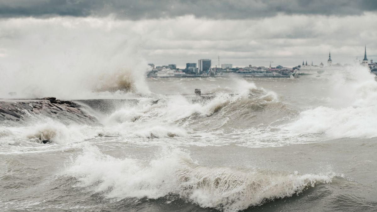
Study confirms climate change has already increased coastal flood risks 12-fold
A study published in Nature Climate Change provides direct, observation-based evidence that climate change has already reshaped coastal floo
 connectsci.au·23d ago
Study Quantifies How Human-Caused Sea Level Rise Drives Coastal Flooding Increases
A new study supported by a Rutgers-led consortium quantifies how human-caused sea level rise is driving increases in extreme water levels an
 rutgers.edu·23d ago
Environment Agency data shows data centre water use spikes during heatwaves, straining drought-prone regions
Environment Agency research reveals that data centres in Britain experience a significant summer spike in water demand, driven by extreme te
 theecologist.org·10d ago
Planning Today for Sea Level Rise Tomorrow [Feature]
ncei.noaa.gov·13y ago
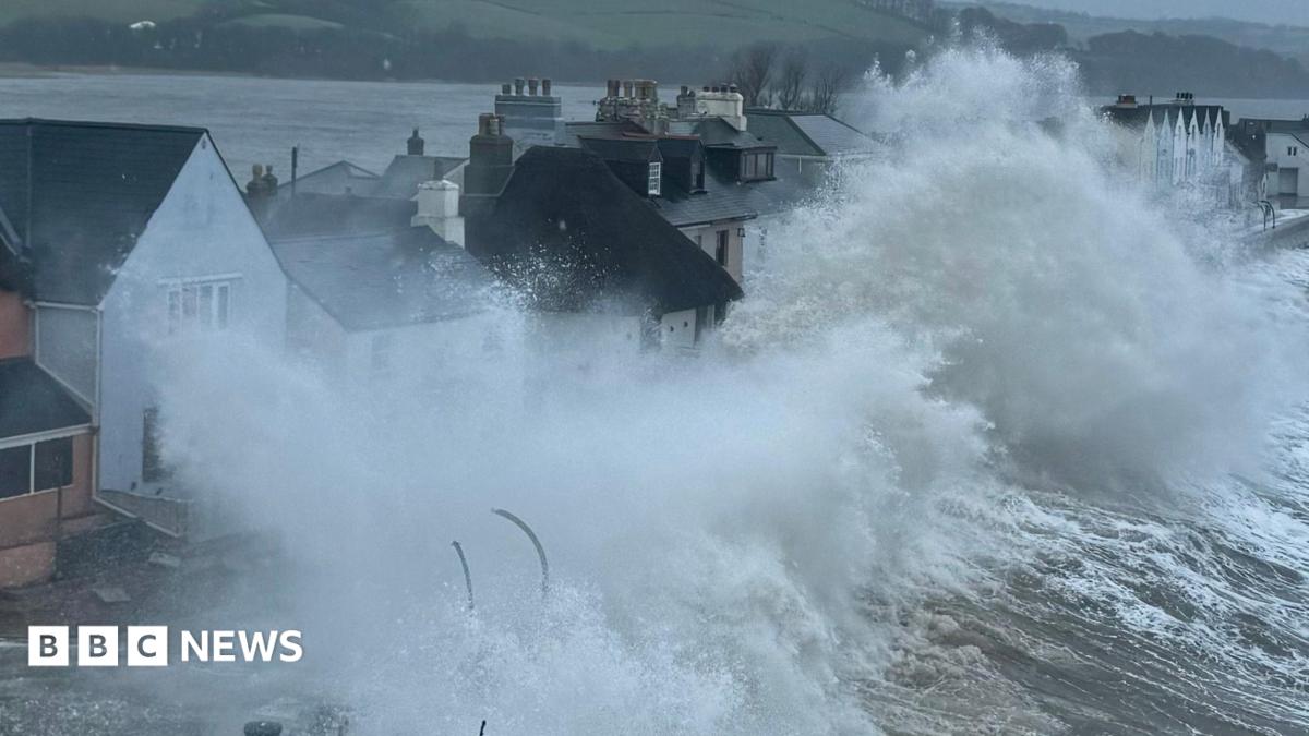
Devon village of Torcross faces existential threat from sea as £20m defence plan considered
The Devon village of Torcross faces an "existential" threat from climate change after a year of winter storms, heatwaves and record rainfall
 bbc.co.uk·4d ago
Comments
Sign in to join the conversation.
No comments yet. Be the first.