Decolonial Cartography: Reimagining Islands Beyond Colonial Mapping Traditions
By
Cara Flores, Josephine Chambers, Britta Ricker, Maarten Hajer
Summary
This academic article critiques the Mercator projection and colonial cartographic traditions that render islands as small, peripheral, and disposable. Drawing on island ontologies and decolonial thought, the authors (Cara Flores, Josephine Chambers & 2 more) explore how mapping has historically marked coloniality and propose ways to subvert colonial cartographic traditions by reimagining islands beyond the colonial gaze. The article engages with concepts of smallness, disposability, and alternative ways of knowing and representing island spaces.
Source
 bskyDecolonial Cartography: Reimagining Islands Beyond Colonial Mapping Traditionsislandstudiesjournal.org
Key quotes
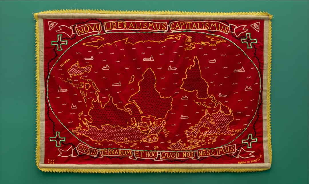
· 3 pulledSmaller areas of land, such as islands, become specks in the ocean and are easily overlooked, seen as poised for the taking, or disposable.
Through thinking with and learning from island ontologies, we aim to conceptualize and illustrate how mapping islands marks coloniality as well as how we could subvert colonial cartographic traditions.
On the widely used Mercator projection of the world, the viewer's eyes are drawn to the big continental land expanses that are in the center.
You might also wanna read


Addressing Colonial Legacies in Sustainable Design for Climate Adaptation
The article argues that sustainable design must address its historical ties to colonialism to adapt to the irreversible impacts of climate c
 Dezeen·10mo ago
Borges' cartographers and the tacit skill of reading LM output

Overlooked Contributions: Local Architects in the History of Tropical Modernism
This article examines how the narrative of tropical modernism in the Global South has historically overlooked the contributions of local arc
Dezeen·8mo ago
Undersea Cables: The Hidden Infrastructure and Colonial Legacy of Global Communication
The article explores the historical legacy of undersea telegraph cables and how their history, including unheard voices from colonial contex
 blog.sciencemuseumgroup.org.uk·5mo ago
Final Installment: Procedural Island Generation with CartoKit - Baking, Visualization and Export
This final installment of a procedural island generation series covers the completion of the CartoKit tool, which bakes terrain into a compa
 brashandplucky.com·9mo ago
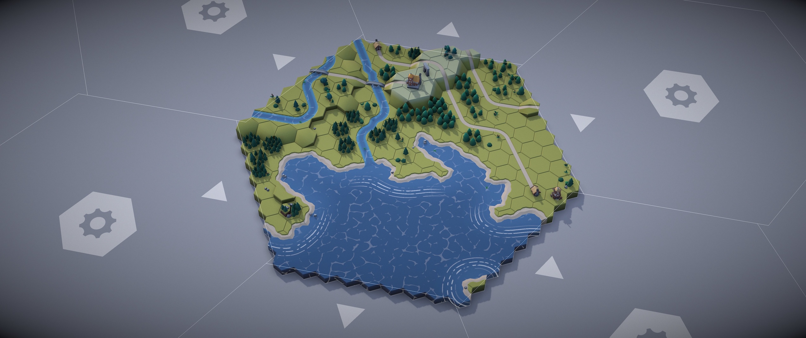
Creating Procedural Medieval Island Maps with Wave Function Collapse Algorithm and WebGPU
The article describes a technical project creating procedural medieval island maps using 4,100 hex tiles, WebGPU for rendering, and the Wave
 felixturner.github.io·3mo ago
Comments
Sign in to join the conversation.
No comments yet. Be the first.