
























Is NavIC Dead? The Real Story Behind India’s Homegrown Navigation System
Unknown ([email protected])3mo ago
From the article
NavIC Explained: What It Is, Why India Built It, and Why Adoption Has Been Slow NavIC (Navigation with Indian Constellation) is India’s own satellite navigation system developed to provide accurate positioning and navigation services within India and surrounding regions. It represents an important step toward technological independence in space-based navigation. Table of Contents What is NavIC Why India Built NavIC Development of NavIC How NavIC Works Services Provided by NavIC Accuracy of NavIC NavIC in Smartphones Challenges Faced by NavIC Future of NavIC FAQs What Is NavIC? NavIC stands for Navigation with Indian Constellation. It is a regional satellite navigation system created by the Indian Space Research Organisation (ISRO). The system is officially known as the Indian Regional Navigation Satellite System (IRNSS). NavIC provides accurate positioning, navigation, and timing services for users in India and nearby regions. Satellite navigation systems work by transmitting signals from satellites orbiting Earth. Devices on the ground receive these signals and calculate their location based on the time it takes for the signals to arrive. This technology is widely used in smartphones, cars, aircraft, ships, mapping systems, and many other modern applications. Many countries operate their own navigation systems. For example, the United States operates GPS, Russia operates GLONASS, China operates BeiDou, and the European Union operates Galileo. NavIC is India's contribution to this global network of satellite navigation technologies. The goal of NavIC is not necessarily to replace global navigation systems but to ensure that India has an independent system that can provide reliable navigation services even if access to foreign systems becomes limited. Why India Built NavIC The development of NavIC was largely influenced by geopolitical and strategic considerations. During the Kargil War in 1999, India reportedly faced limitations in accessing precise navigation data from foreign systems. This situation highlighted the risk of relying entirely on external navigation infrastructure. Navigation systems play a critical role in modern military operations. They help guide missiles, support troop movements, assist aircraft navigation, and enable precise targeting systems. Without reliable navigation data, military operations can become much more difficult. Recognizing this vulnerability, India decided to create its own navigation system that would remain under national control. By developing NavIC, India ensured that it would always have access to accurate location data for both civilian and military purposes. Apart from defense needs, NavIC was also designed to support civilian applications such as transportation systems, disaster response operations, agriculture technology, and maritime navigation. Development of the NavIC System The Indian government approved the NavIC project in 2006, and ISRO began developing the system soon after. Building a satellite navigation system is a complex process that requires advanced satellite technology, precise atomic clocks, ground control stations, and signal processing infrastructure. The first NavIC satellite was launched in 2013. Over the next several years, additional satellites were placed into orbit to form the complete constellation. By 2018, the system had become operational. NavIC was designed as a regional navigation system rather than a global one. This means it focuses on providing strong coverage within India and the surrounding region rather than attempting to cover the entire planet. The constellation originally consisted of seven satellites positioned in geostationary and geosynchronous orbits. These positions allow the satellites to remain visible over the Indian region for extended periods, ensuring consistent signal availability. How NavIC Works NavIC works using a group of satellites that continuously broadcast navigation signals. Receivers on the ground detect signals from multiple satellites and calculate their position using trilateration, a method that determines location based on distance measurements from several reference points. Each NavIC satellite carries highly accurate atomic clocks. These clocks allow the satellites to send signals with extremely precise timing information. Because radio signals travel at the speed of light, even a tiny timing error could lead to a large positioning error. Therefore, maintaining accurate time measurement is critical for navigation systems. Ground control stations constantly monitor the satellites to ensure they remain in the correct orbit and continue transmitting accurate signals. If necessary, adjustments can be made to maintain system performance. Services Provided by NavIC Standard Positioning Service The Standard Positioning Service is available for civilian users. It provides location information for navigation devices, mapping services, and consumer electronics such as smartphones. Restricted Service Restricted Service is designed for authorized users such as the military and government agencies. This signal is encrypted and offers higher accuracy and security. Together, these services allow NavIC to support a wide range of applications including navigation, fleet management, disaster management, and national security operations. Accuracy of NavIC Approximately 5 meters accuracy within India 10–20 meters accuracy in surrounding regions Because NavIC satellites are optimized for the Indian region, the system can provide strong and reliable signals across the subcontinent. This regional focus allows NavIC to offer high accuracy where it matters most for Indian users. NavIC in Smartphones Many modern smartphones support NavIC along with other navigation systems such as GPS and GLONASS. Chipset manufacturers have added compatibility for NavIC in several processors used in mobile devices. This means that when you use navigation apps on certain smartphones in India, your device may be using signals from NavIC satellites in addition to other systems to improve positioning accuracy. Challenges Faced by NavIC Despite its technological achievements, NavIC has faced several challenges since its introduction. One of the main limitations is that NavIC provides regional coverage rather than global coverage. This makes it less relevant for companies that produce devices intended for global markets. Another challenge has been the failure of atomic clocks on some early satellites. Atomic clocks are critical for maintaining accurate navigation signals. When these clocks fail, satellites may become less useful for navigation until replacements are launched. Industry adoption has also been slower than expected. Many navigation devices already rely on global systems like GPS, which have decades of infrastructure and ecosystem support. Future of NavIC India continues to upgrade the NavIC system by launching second-generation satellites that include improved atomic clocks and additional frequency bands. These upgrades are designed to improve compatibility with consumer devices and increase overall system reliability. In the future, NavIC could support emerging technologies such as autonomous vehicles, drone navigation systems, smart transportation infrastructure, and advanced logistics tracking systems. Even if NavIC never becomes a global competitor to systems like GPS, it still provides important strategic advantages for India by ensuring access to independent navigation capabilities. Frequently Asked Questions What is NavIC? NavIC is India's regional satellite navigation system developed by ISRO. What does NavIC stand for? NavIC stands for Navigation with Indian Constellation. Is NavIC similar to GPS? Yes, NavIC works similarly to GPS by using satellites to transmit navigation signals. Is NavIC used in smartphones? Many modern smartphones support NavIC alongside GPS and other navigation systems. 👋 Thank You for Reading! We appreciate your time and interest in renewable energy, EVs, and cutting-edge tech. Your curiosity helps drive a sustainable future forward. 📱 Follow Us on Social Media: 🌐 Visit our website
Continue reading on omkarmhatre.inYou might also wanna read

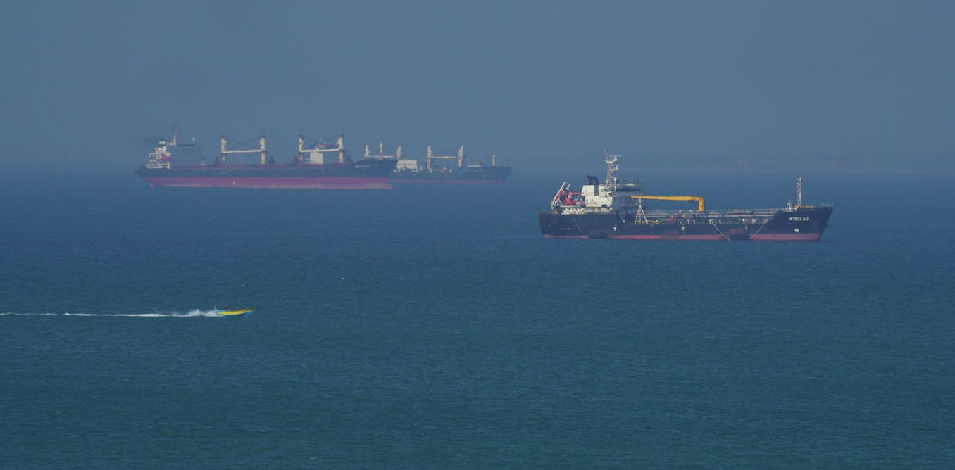
GPS vulnerabilities from jamming and spoofing drive urgent development of backup navigation systems
This article examines the growing vulnerability of GPS systems to jamming and spoofing attacks, driven by both criminal activity and geopoli
 theconversation.com·15d ago
India must build its own DeepSeek or risk AI dependence on US, warns Bernstein
storyboard18.com·16d ago

Analysis of Starlink Satellite Internet for In-Flight Connectivity and Rural Applications
The article appears to be a technical discussion about Starlink satellite internet connectivity, specifically focusing on its application fo
 news.ycombinator.com·3mo ago
Sodern launches Astradia, a star tracker for GNSS-denied navigation
sodern.com·1y ago
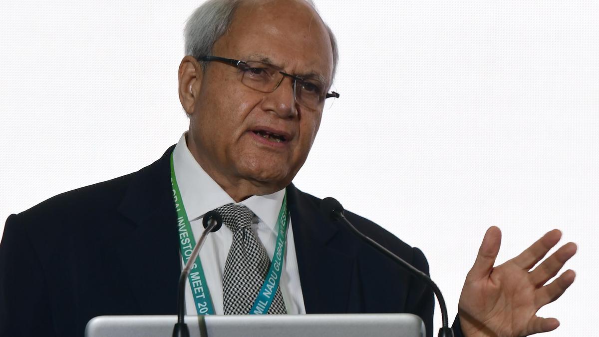
India's National Quantum Mission: Bengaluru emerges as key hub for quantum technology development
Ajai Chowdhry, Chairman of the Mission Governing Board of India's National Quantum Mission (NQM), discusses the progress and ambitions of In
 thehindu.com·1mo ago
India's National Quantum Mission: Bengaluru emerges as key hub for quantum technology development
Ajai Chowdhry, Chairman of the Mission Governing Board of India's National Quantum Mission (NQM), discusses the progress and ambitions of In
thehindu.com·1mo agoCanadian quantum sensor startup aims to help defence forces navigate where GPS can’t go
financialpost.com·1mo ago
Comments
Sign in to join the conversation.
No comments yet. Be the first.