
























First reported by CBSNews
First major 2026 Atlantic hurricane forecast predicts below-average season
Colorado State University lowers hurricane forecast again as El Niño continues to suppress Atlantic activity
From the article
A strengthening El Niño is reshaping the 2026 Atlantic hurricane season. Citing increasingly unfavorable conditions for tropical development, Colorado State University has reduced its hurricane outlook once again. Colorado State University has lowered its Atlantic hurricane outlook for the second consecutive month, thanks to a strengthening El Niño. If the Atlantic hurricane season has seemed unusually quiet so far, you're not imagining it. Forecasters at Colorado State University (CSU) have once again lowered their outlook for the 2026 season, citing a strengthening El Niño that continues to create an unfavorable environment for tropical development. While that's good news for now, experts stress that it doesn't mean coastal communities are in the clear. Here's what the updated forecast looks like Colorado State University now expects the Atlantic to produce 9 named storms, 4 hurricanes and 2 major hurricanes (Category 3 or stronger) during the 2026 season. That's down from its June outlook, which called for 11 named storms, and is also well below the long-term average of about 14 named storms in a typical Atlantic hurricane season. CSU reduces forecast for 2026 Atlantic #hurricane season and now calls for well below-normal activity: 9 named storms, 4 hurricanes & 1 major hurricane. High likelihood of strong #ElNino and associated increase in vertical wind shear the primary factor: pic.twitter.com/KdIIbGLTyY — Philip Klotzbach (@philklotzbach) July 8, 2026 The latest update marks the second consecutive monthly reduction in the forecast. Researchers say the growing influence of El Niño has increased their confidence that conditions will remain unfavorable for tropical cyclone development through the peak of hurricane season, leading to fewer storms than initially expected. El Niño is doing exactly what forecasters expected The biggest factor behind the quieter outlook isn't cooler ocean temperatures, it's what's happening high in the atmosphere. As El Niño strengthens across the Pacific, it increases upper-level winds over the Caribbean and tropical Atlantic. Those stronger winds create vertical wind shear, which disrupts developing thunderstorms before they can organize into tropical storms or hurricanes. Related article What the developing ‘Super El Niño’ means for New York and the Northeast this year Think of it as trying to build a tower of blocks while someone keeps shaking the table. Storms may begin to form, but the atmosphere prevents many of them from becoming well-organized systems. That hostile environment has already been evident this season, with very little tropical activity across the Atlantic basin. Good news for the Gulf Coast—but not a guarantee The updated forecast also lowers the risk of hurricanes reaching the Gulf Coast.CSU now estimates only a 10% chance that a hurricane will make landfall somewhere between Brownsville, Texas, and the Florida Panhandle this season, down from 20% in its June outlook. The probability of a major hurricane striking anywhere along the U.S. coastline has also dropped to 17%, far below the historical average of 43%. Those numbers are encouraging, but they should be viewed as seasonal probabilities, not predictions for any one city or state. The Atlantic has been remarkably quiet So far, the season has produced just one named storm: Tropical Storm Arthur, which brushed portions of the Texas coast in June. Even more telling, the National Hurricane Center is not currently tracking any areas with significant development potential over the next seven days. For early July, that's a relatively quiet pattern. Meanwhile, the Eastern Pacific has been much more active, highlighting how large-scale climate patterns like El Niño can favor one ocean basin while suppressing another. News reference Dept. of Atmospheric Science, CSU. (July 8, 2026). Seasonal Hurricane Forecasting .
Continue reading on Theweather.comYou might also wanna read


El Niño is crushing the hurricane forecast
valleycentral.com·21h ago

Researchers scale down hurricane season forecast ahead of 'powerful' El Niño
CBS 42·23h ago

Researchers scale down hurricane season forecast ahead of 'powerful' El Niño
KSN-TV·23h ago
First major 2026 Atlantic hurricane forecast predicts below-average season
CBSNews·1d ago
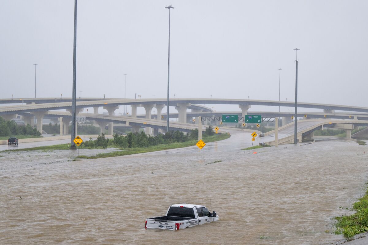
El Niño May Reduce Hurricane Count But Not Risk for Insurance and Energy Markets
As hurricane season begins, forecasters predict El Niño will reduce the number of storms this year. However, the article warns that fewer hu
 bloomberg.com·1mo ago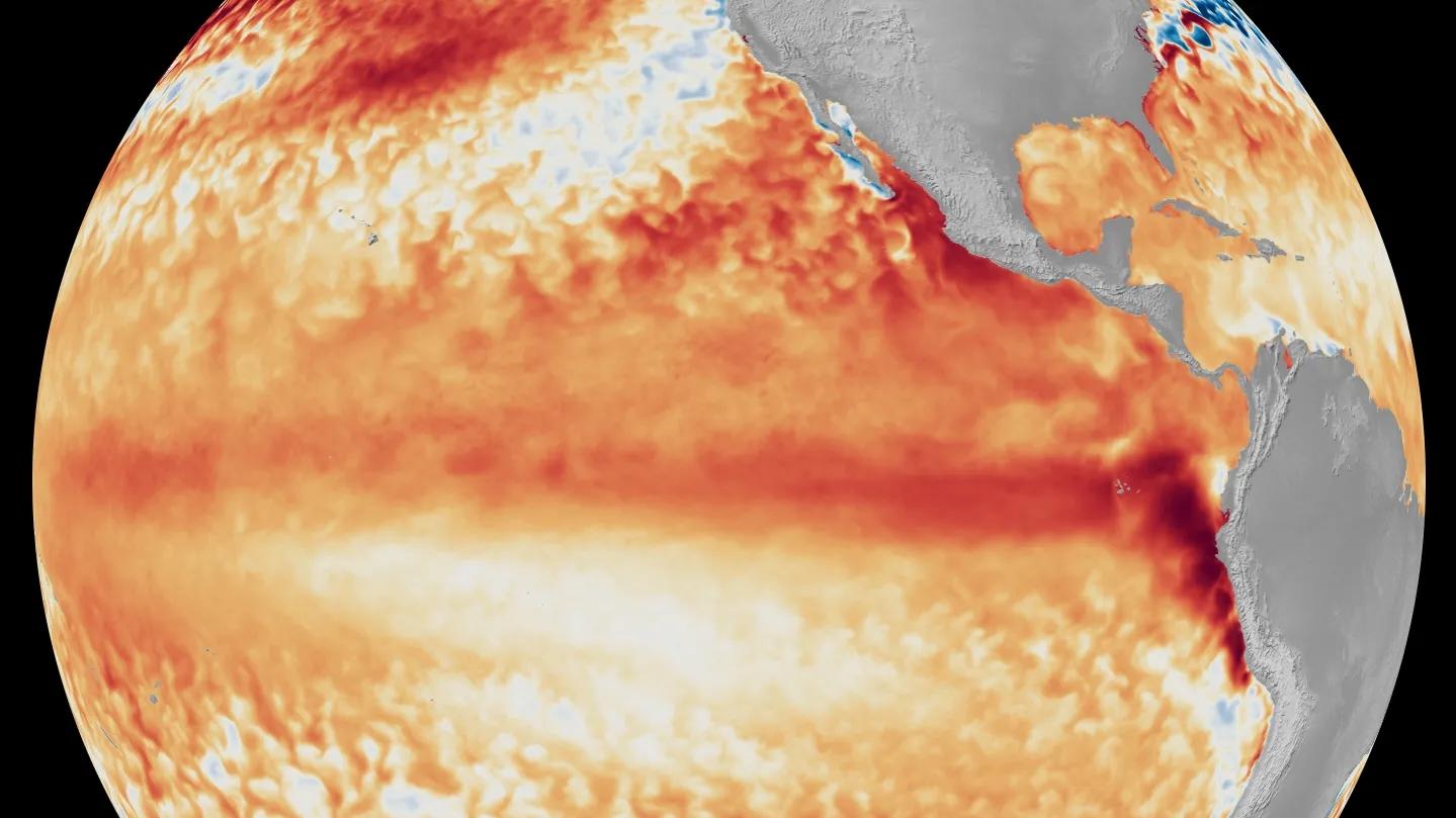
NOAA Confirms El Niño Has Formed, Forecasts Strong Event This Fall
NOAA has announced that El Niño has formed in the tropical Pacific and is predicted to intensify to a moderate or strong level this fall, wi
 forbes.com·26d ago
Comments
Sign in to join the conversation.
No comments yet. Be the first.