
























Browser-Based 3D Visualizer Shows Real-Time GPS Satellite Positions
Robert Wolf created a browser-based 3D visualizer that displays GPS satellites orbiting Earth in real-time. The tool shows the constellation of satellites in a 3D view and provides a list of satellites, helping users visualize the infrastructure behind the GPS system that billions rely on daily.
Key quotes
Billions of people use GPS on a daily basis, along with the various other satellite navigation systems available today.
But few of us spend much time contemplating the fleet of satellites above us that actually makes the system work.
[Robert Wolf] has, though, and he's built a simple visualizer that displays just what those space birds are doing at any given time.
The visualizer runs right in the browser, and displays a cluster of GPS satellites in a 3D view around the Earth.
From the article
You might also wanna read


Browser-Based Cosmic Compass Shows Real-Time Planetary Positions
A browser-based cosmic compass tool that displays real-time positions of solar system planets from the user's specific location and time. Th
 Product Hunt·7mo ago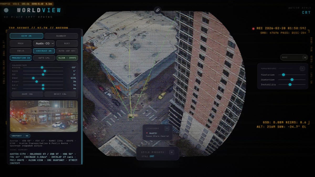
Developer Creates Browser-Based Spy Satellite Simulator That Attracted Palantir Co-Founder's Attention
A developer created a browser-based spy satellite simulator called WorldView that allows users to view any location on Earth through various
 spatialintelligence.ai·4mo ago
'This is the future of spatial intelligence': Vantor unveils stunning 3D satellite views of Earth (photos)

WeatherX Earth — Interactive 3D Weather Visualization
weatherx.earth·8d ago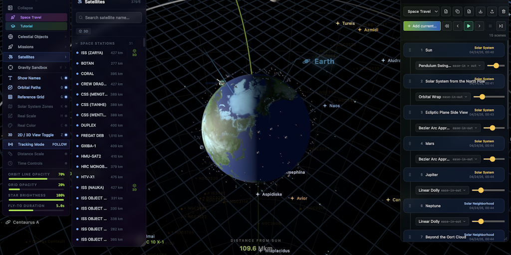
AstroGrid: A Browser-Based Real-Time 3D Universe Explorer
AstroGrid is a browser-based, real-time 3D universe exploration tool that lets users fly from Earth's surface to the edge of the observable
Product Hunt·2mo ago
Introduction to Kepler.gl: A High-Performance Geospatial Analytics Web Application
Kepler.gl is a data agnostic, WebGL empowered, high-performance web application for geospatial analytic visualizations.
kepler.gl·1y ago
Comments
Sign in to join the conversation.
No comments yet. Be the first.