
























A New Nautical Chart for New York Harbor
From the article
NOAA’s latest edition of Chart 12334 -- New York Harbor will enable ships, barges, ferries, and recreational vessels to navigate more safely through New York Harbor. One of the world’s largest natural harbors, and the busiest on the Eastern Seaboard, New York Harbor suffered damages from Post Tropical Cyclone Sandy in October 2012.
Continue reading on ncei.noaa.govYou might also wanna read
New York welcomes Sail4th 250 Parade of Tall Ships
CBSNews·3d ago


WATCH: Vessels from around the world participate in parade of tall ships up Hudson River
abcnews.com·4d ago

The largest peacetime maritime gathering in U.S. history comes to New York City
Popular Science·8d ago
How to navigate the ferry systems in New York City
Spectrum News NY1·8mo ago
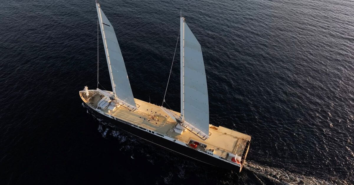
World's Largest Cargo Sailboat Completes First Transatlantic Voyage Despite Storm Damage
The world's largest cargo sailboat, Neoliner Origin, successfully completed its first transatlantic voyage despite encountering a storm that
 marineinsight.com·8mo ago
Coast Guard removes Hudson River Sloop Clearwater from America250 parade over Indigenous rights and climate banners
The Hudson River Sloop Clearwater, a nonprofit sailboat, was removed from the Sail4th 250 Parade of Ships in New York City by U.S. Coast Gua
 timesunion.com·4d ago
Comments
Sign in to join the conversation.
No comments yet. Be the first.