EarthCARE satellite's cloud radar data used operationally for first time to improve global weather forecasts
Summary
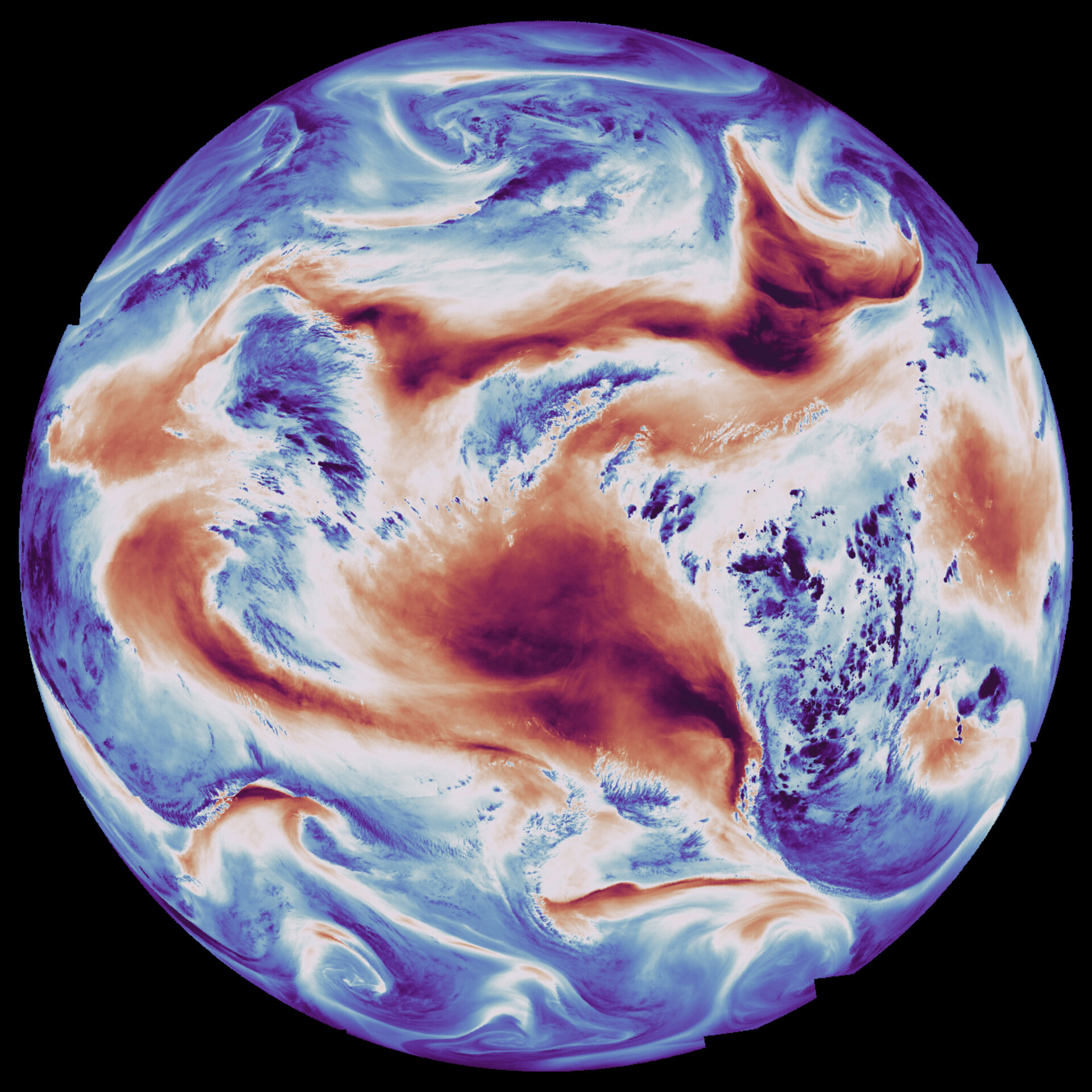
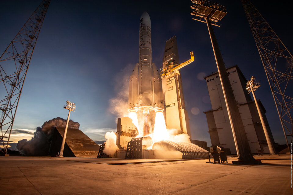
The European Space Agency's EarthCARE satellite, originally developed for climate research on clouds and aerosols, has achieved a landmark milestone: its cloud profiling radar data is now being used operationally by the European Centre for Medium-Range Weather Forecasts (ECMWF) to improve daily weather forecasts. This marks the first time cloud radar data from space has been assimilated into a global weather forecasting system, demonstrating a direct practical benefit from a research mission. The cloud profiling radar penetrates clouds to provide detailed information on location, vertical structure, particle fall velocity, particle size and distribution, and water content.
Source
 bskyEarthCARE satellite's cloud radar data used operationally for first time to improve global weather forecastsesa.int
Key quotes
· 4 pulledEarthCARE's cloud profiling radar is essential for studying cloud processes, such as their formation and dissipation.
It penetrates through clouds – providing detailed information on location, vertical structure, particle fall velocity, particle size and distribution, and water content.
For climate research, EarthCARE observations are helping to...
This landmark achievement marks the first time that cloud radar data from space have been assimilated into a global weather forecasting system.
You might also wanna read

European Space Agency Releases First Images from Next-Generation Weather Satellite
The European Space Agency has released the first images from the Meteosat Third Generation-Sounder (MTG-S) satellite, captured on November 1
Europe's Sentinel-1 Radar Constellation Reaches Full Operational Capacity with Fourth Satellite
Europe's Copernicus Sentinel-1 radar mission is now fully operational with all four satellites in orbit. Sentinel-1D, the final satellite in
 Orbital Today·1mo ago
Europe Launches First Geostationary Sounder Satellite for Weather Forecasting
Europe’s first geostationary sounder satellite, MTG-S1, launched on July 1, 2025, will provide high-frequency data on temperature, humidity,
eumetsat.int·11mo ago
ESA Releases First High-Resolution Images from Sentinel-1D Satellite
The European Space Agency has released the first high-resolution radar images from the newly launched Copernicus Sentinel-1D satellite. The

NASA and IBM's Prithvi Geospatial AI Model Becomes First Foundation Model Deployed in Orbit
A team of researchers from Adelaide University, ESA Φ-lab, Thales Alenia Space, and SmartSat CRC successfully uploaded and demonstrated NASA
 science.nasa.gov·4d ago
Nvidia-backed Starcloud Trains First AI Model in Space Using Satellite with H100 GPU
Nvidia-backed startup Starcloud successfully trained an AI model in space for the first time using a satellite equipped with an Nvidia H100
Comments
Sign in to join the conversation.
No comments yet. Be the first.