Walkable: A safety-first navigation app that scores routes by real-time safety factors
By
Ekim Cem Ülger
Half-baked but well-meaning. A passing snack.
Summary
Walkable is a safety-first walking navigation app that prioritizes route safety over speed. It provides real-time Walkable Scores for streets based on lighting, foot traffic, time of day, and live safety signals including crime data. Users can choose between Safest, Balanced, or Fastest routes. The app was inspired by concerns from women about walking home safely at night and parents worried about their children's routes, addressing the gap left by traditional maps that only optimize for speed.
Key quotes
· 5 pulledWe built Walkable because we were tired of maps that only cared about saving a few minutes, even if it meant sending people through dark or sketchy streets at night.
The idea came from hearing too many stories from women in our circle who didn't feel safe walking home, and from parents who were anxious about their kids' routes.
We saw that existing apps only optimize for speed, so we wanted to create something that actually considers real-life safety.
Walkable gives every street a real-time Walkable Score based on lighting, foot traffic, time of day, and live safety signals.
Designed for women, parents, and travelers who refuse to trade safety for speed.
You might also wanna read


GridTravel: A community-driven walking route app for travelers
GridTravel is a mobile app that offers a community-driven platform for walking routes. Users can browse routes created by other travelers, f
 gridtravel.app·19d ago
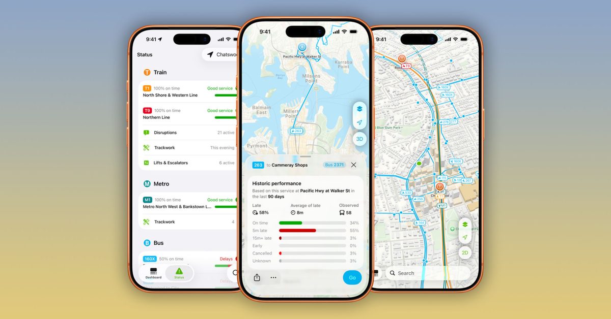
Indie App Spotlight: NextThere offers public transit navigation with historical delay data
NextThere is an indie app featured in 9to5Mac's Indie App Spotlight series that helps users navigate public transit across different cities.
 9to5mac.com·3d ago
OsmAnd Implements Custom Highway Hierarchy Algorithm for 100x Faster Offline Navigation
OsmAnd, an offline navigation app, has developed a custom Highway Hierarchy algorithm to achieve a 100x speed boost in route calculation whi
 osmand.net·3mo ago
Google Maps Integrates Gemini AI for Conversational Navigation and Enhanced Route Planning
Google Maps is integrating Gemini AI to enhance navigation features, including conversational route planning, landmark-based directions, and
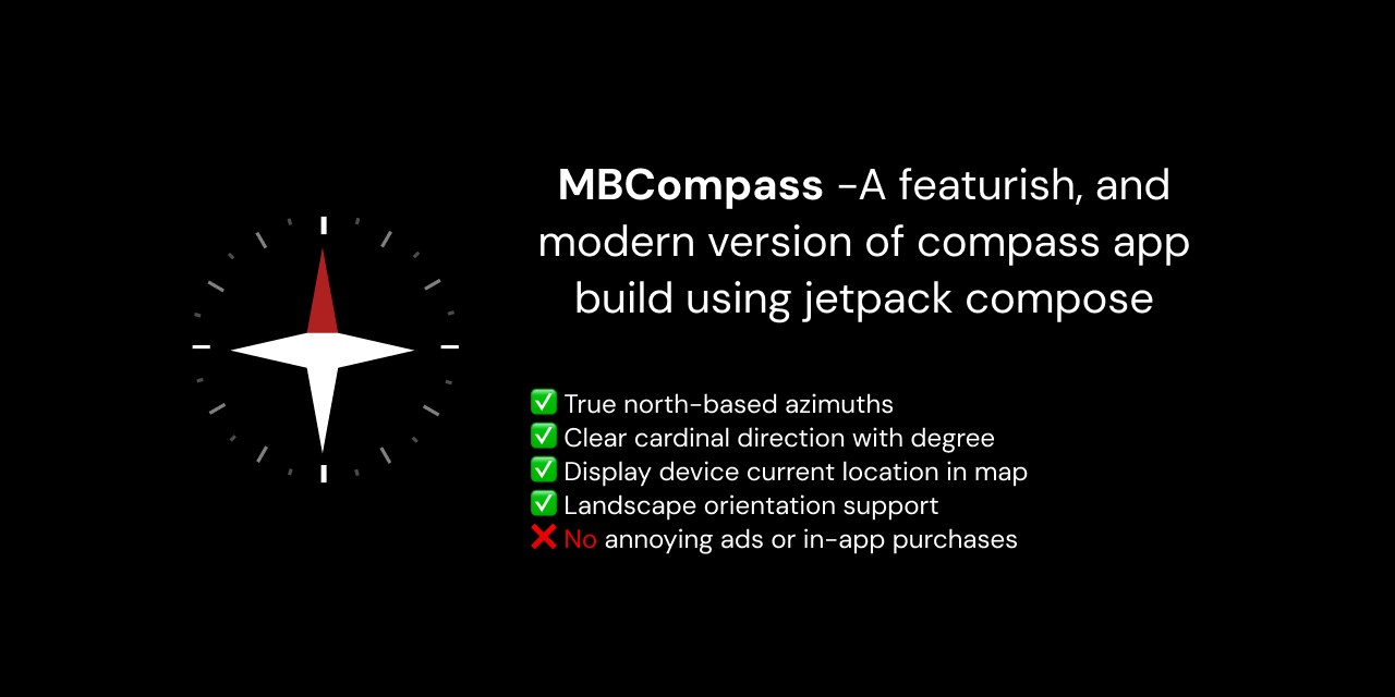
MBCompass: Free Open-Source Android Navigation App Without Ads or Tracking
MBCompass is a modern, free, open-source compass and navigation app for Android that offers a focused navigation utility between a basic com
 github.com·4mo ago
Mumsnet and SafetyMode launch free AI-powered child safety app for Android
Mumsnet has partnered with SafetyMode to develop a free AI-powered child safety app for Android devices. The app monitors, filters, and bloc
 mylondon.news·3d ago