Understanding Orthographic Projections for Map Icons
By
bryanrasmussen
A five-star bake. Worth schmearing, sharing, saving.
Summary
The article discusses the concept of orthographic projections, particularly in creating map icons with a three-dimensional globe illusion. It mentions the historical origins of this projection and its relevance in modern times, referencing the iconic 'Earthrise' image from the Apollo 8 mission in 1968.
Key quotes
· 3 pulledAn orthographic projection is the best approximation of a view of the earth from space.
It’s an old projection, believed to have first been developed by the Ancient Egyptians and Greeks.
A good example is Earth’s first portrait, taken from Apollo 8 mission astronauts in 1968.
You might also wanna read

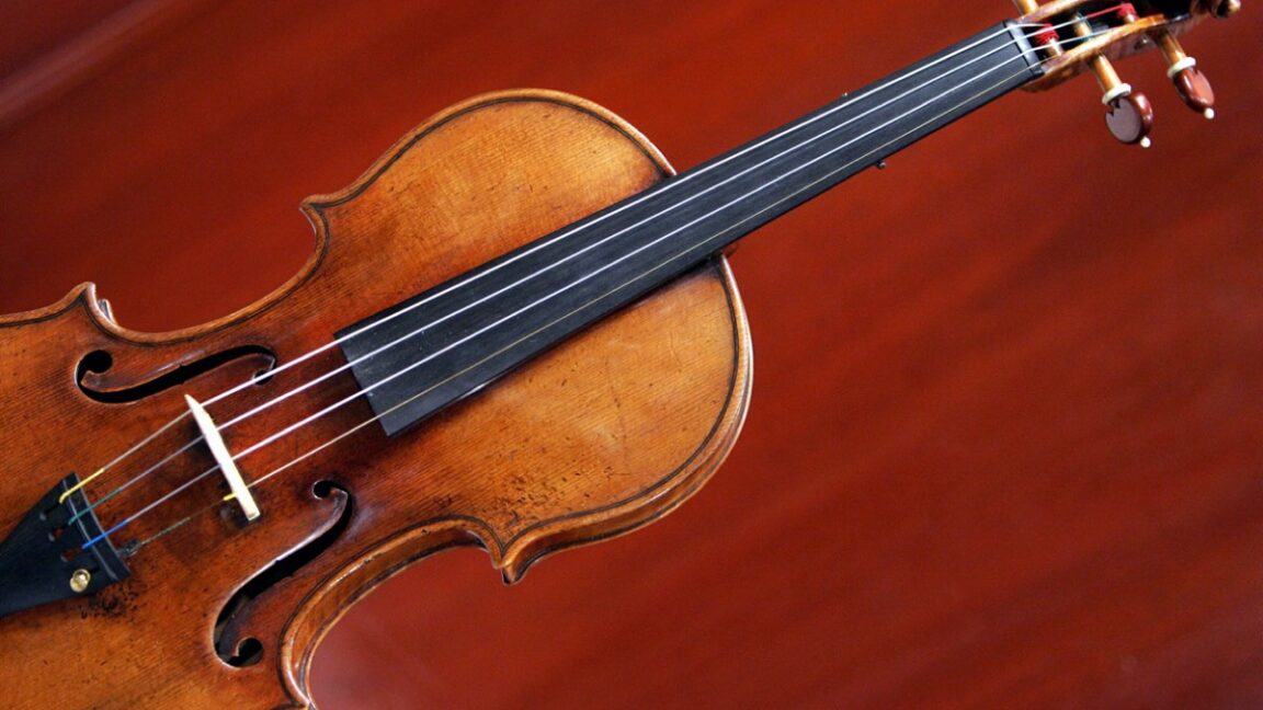
MIT engineers develop virtual violin simulation tool for luthiers
MIT engineers have developed a virtual violin simulation tool that captures the precise physics of the instrument and reproduces realistic s

Designing Acceptance: The Challenge of Making Lab-Grown Meat Culturally Palatable
This article explores the challenges and opportunities of lab-grown meat, focusing on the role of design in making it culturally and emotion
 Dezeen·8mo ago
Renovation of Kew Gardens' Victorian Greenhouses to Achieve Net-Zero Heating
Two Victorian greenhouses in London's Kew Gardens, the Palm House and Waterlily House, are undergoing renovation to become the first net-zer
Dezeen·10mo ago
Glastonbury Introduces Mycelium-Insulated Stage at Sunflower Sound System
Glastonbury introduces a mycelium-insulated stage at the Sunflower Sound System, featuring acoustic panels grown from hemp and mycelium. The
Dezeen·11mo ago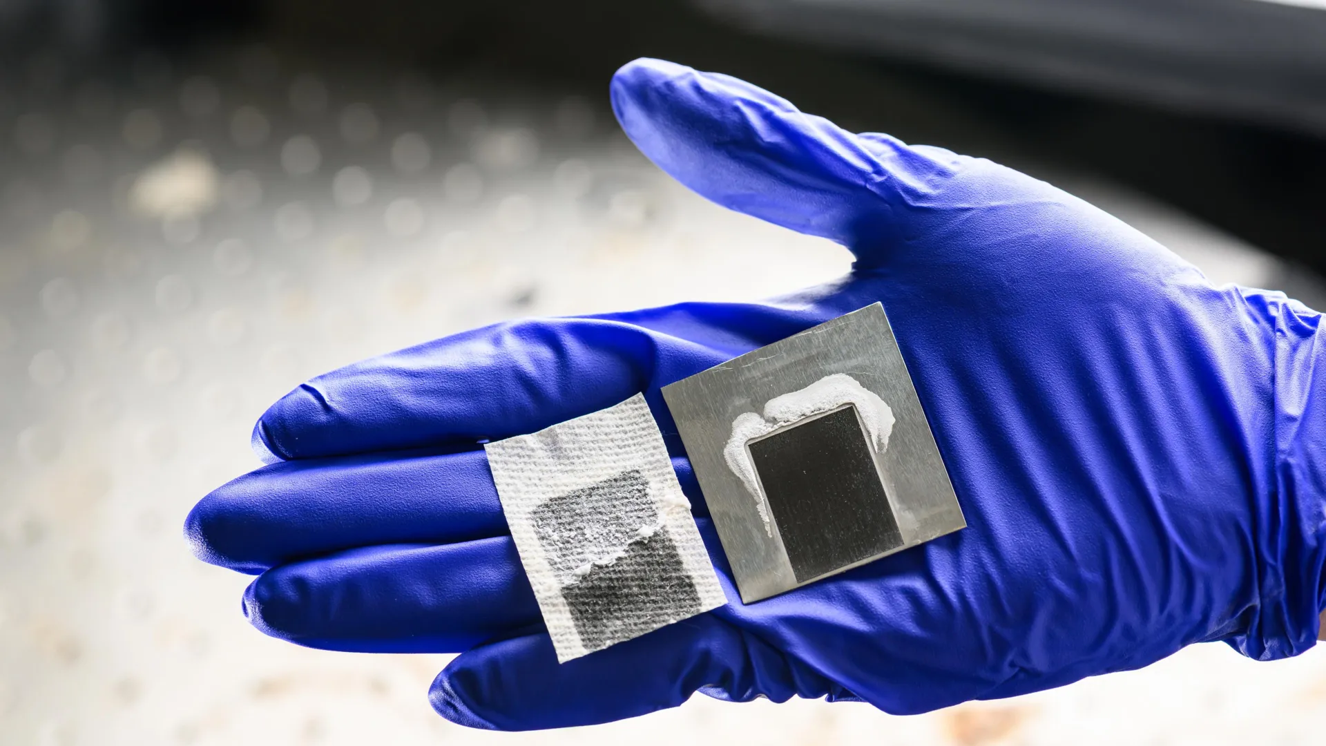
Solar desalination system eliminates toxic brine while producing fresh water
Scientists have developed a solar-powered desalination system that converts seawater into fresh water without producing toxic brine, a major
Solar desalination system eliminates toxic brine while producing fresh water
Scientists have developed a solar-powered desalination system that converts seawater into fresh water without producing toxic brine, a major