Interactive Map: European Train Travel Distances Within 5 Hours
By
mudkipdev
Crackles when you bite it. Shows the baker did the work.
Summary
An interactive map visualization showing train travel distances across Europe within 5 hours, based on data from Deutsche Bahn with assumptions about optimal travel times including 20-minute interchanges and walking-speed transit between stations.
Key quotes
· 5 pulledThis map shows you how far you can travel from each station in Europe in less than 5 hours.
The data is based off of this site, which sources it from the Deutsch Bahn.
This assumes interchanges are 20 minutes, and transit between stations is a little over walking speed.
Therefore, these should be interpreted as optimal travel times.
Hover your mouse over a station to see the isochrones from that city.
You might also wanna read


Real-Time Airport Disruption Status for Major North American Airports
The article presents real-time airport disruption data for major North American airports, showing current delays, cancellations, and alerts.
 flighty.com·2mo ago
China Develops World's Fastest Bullet Train Capable of 450km/h
China has developed a new CR450 bullet train capable of reaching 450km/h, making it the world's fastest train. This represents a significant
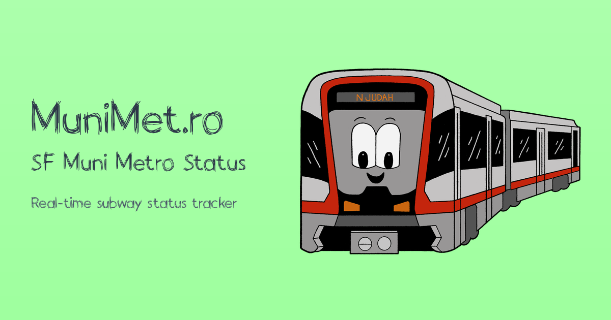
San Francisco Muni Metro Real-Time Subway Status Monitoring
This is a real-time status monitoring page for the San Francisco Muni Metro subway system, providing current operational information includi
 munimet.ro·4mo ago
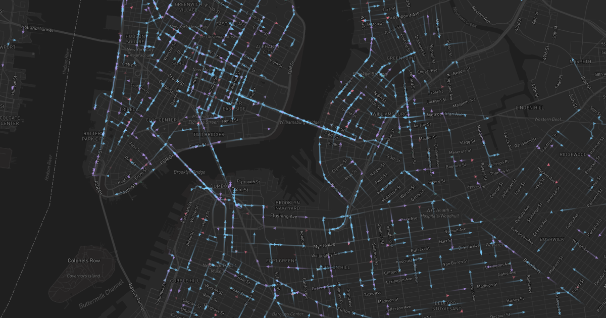
Interactive Map Visualization of Citi Bike's Complete History
A visualization tool showing the complete history of Citi Bike, the largest bike-sharing system in the United States, presented through an i

BDZ Map: Live Bulgarian Train Tracker with Real-Time Positions and Schedules
The article describes a live Bulgarian train tracking service called BDZ Map that provides real-time tracking of all passenger trains in Bul
 bdzmap.com·5mo ago
Air Loom: Real-Time 3D Flight Tracking Visualization Tool
Air Loom is a real-time 3D flight tracking visualization tool that displays aircraft flight paths with ribbon trails across the sky. The int