UAE Activates Three New Space42 Foresight Satellites for Disaster Response and Travel Safety
By
William R. Martin
A baker's-dozen of insight crammed into one ring.
Summary
The United Arab Emirates has activated three new Space42 Foresight satellites, expanding a synthetic aperture radar (SAR) constellation designed to enhance global disaster response, protect travel infrastructure, and improve climate resilience. The satellites provide all-weather, day-and-night imaging capabilities that can monitor environmental changes, detect infrastructure vulnerabilities, and support faster emergency response during natural disasters. This expansion positions Space42 as a key player in the growing Earth observation market, with applications spanning travel safety, urban planning, and climate monitoring.
Key quotes
· 3 pulledThe new satellites will provide critical data for faster disaster response and more resilient travel infrastructure.
Space42's synthetic aperture radar technology enables all-weather, day-and-night imaging capabilities.
This expansion strengthens the UAE's position in the global Earth observation market.
You might also wanna read

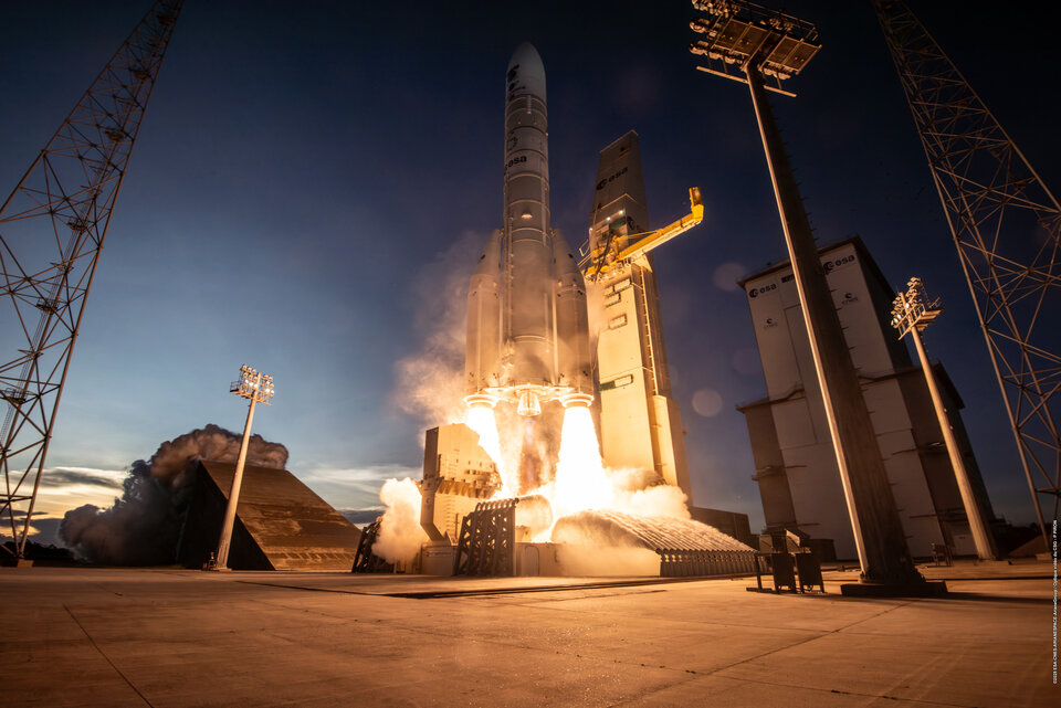
Europe's Sentinel-1 Radar Constellation Reaches Full Operational Capacity with Fourth Satellite
Europe's Copernicus Sentinel-1 radar mission is now fully operational with all four satellites in orbit. Sentinel-1D, the final satellite in
 Orbital Today·1mo ago
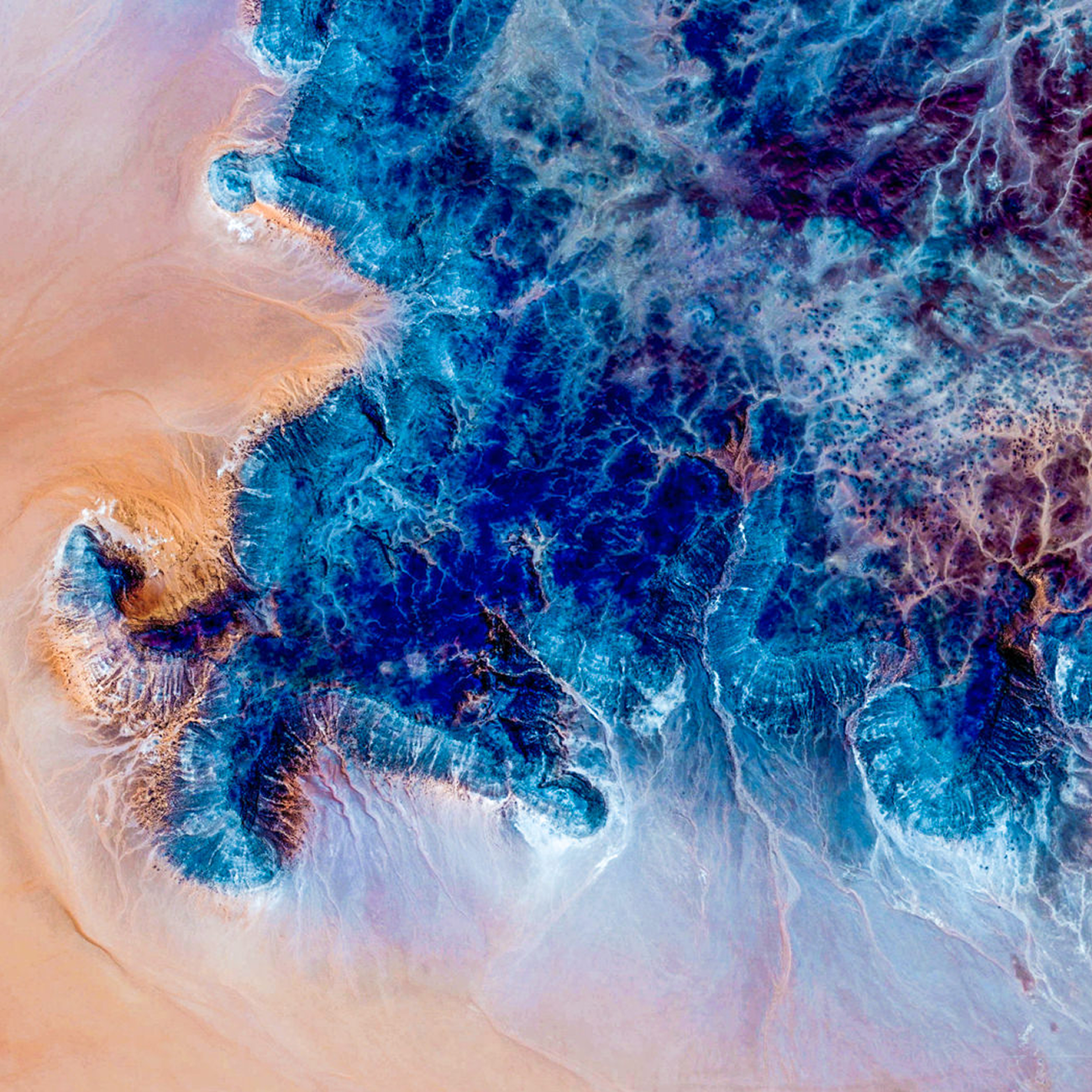
Google Earth AI Expands Disaster Response and Environmental Monitoring Capabilities
Google Earth AI is being expanded to provide critical disaster response capabilities, including flood forecasting covering over 2 billion pe
 blog.google·7mo ago
EyeOnBlue: Satellite Imagery and AI Platform for Environmental Monitoring and Disaster Prediction
EyeOnBlue is a satellite imagery and AI platform that uses remote sensing technology for environmental monitoring, disaster prediction, and
 Product Hunt·1mo ago
NASA's GUARDIAN System Successfully Detects Tsunami in Real-Time Test
NASA's experimental GUARDIAN system successfully detected a tsunami in near-real-time during a major earthquake off Russia in late July. The
 jpl.nasa.gov·8mo ago
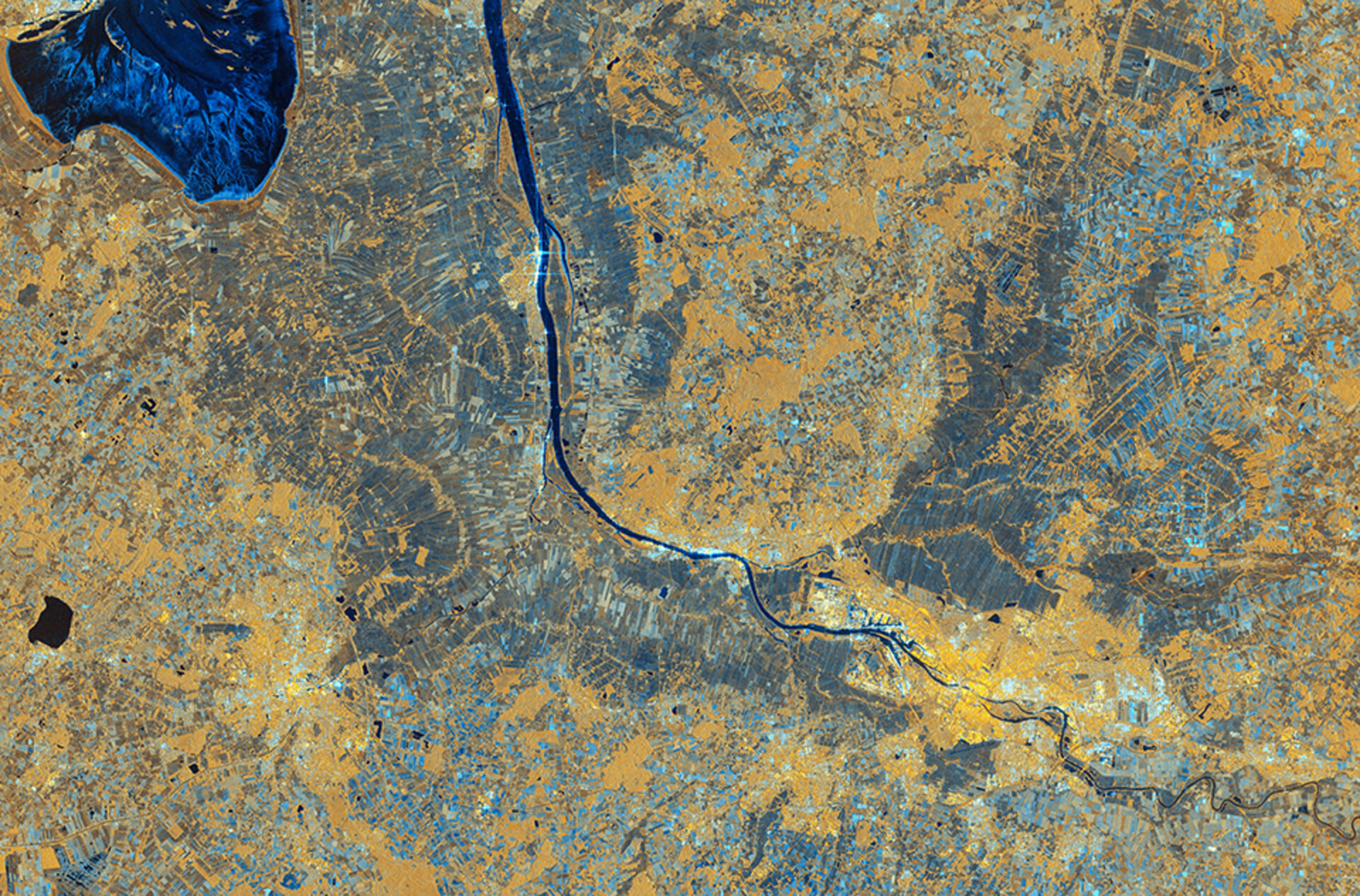
ESA Releases First High-Resolution Images from Sentinel-1D Satellite
The European Space Agency has released the first high-resolution radar images from the newly launched Copernicus Sentinel-1D satellite. The
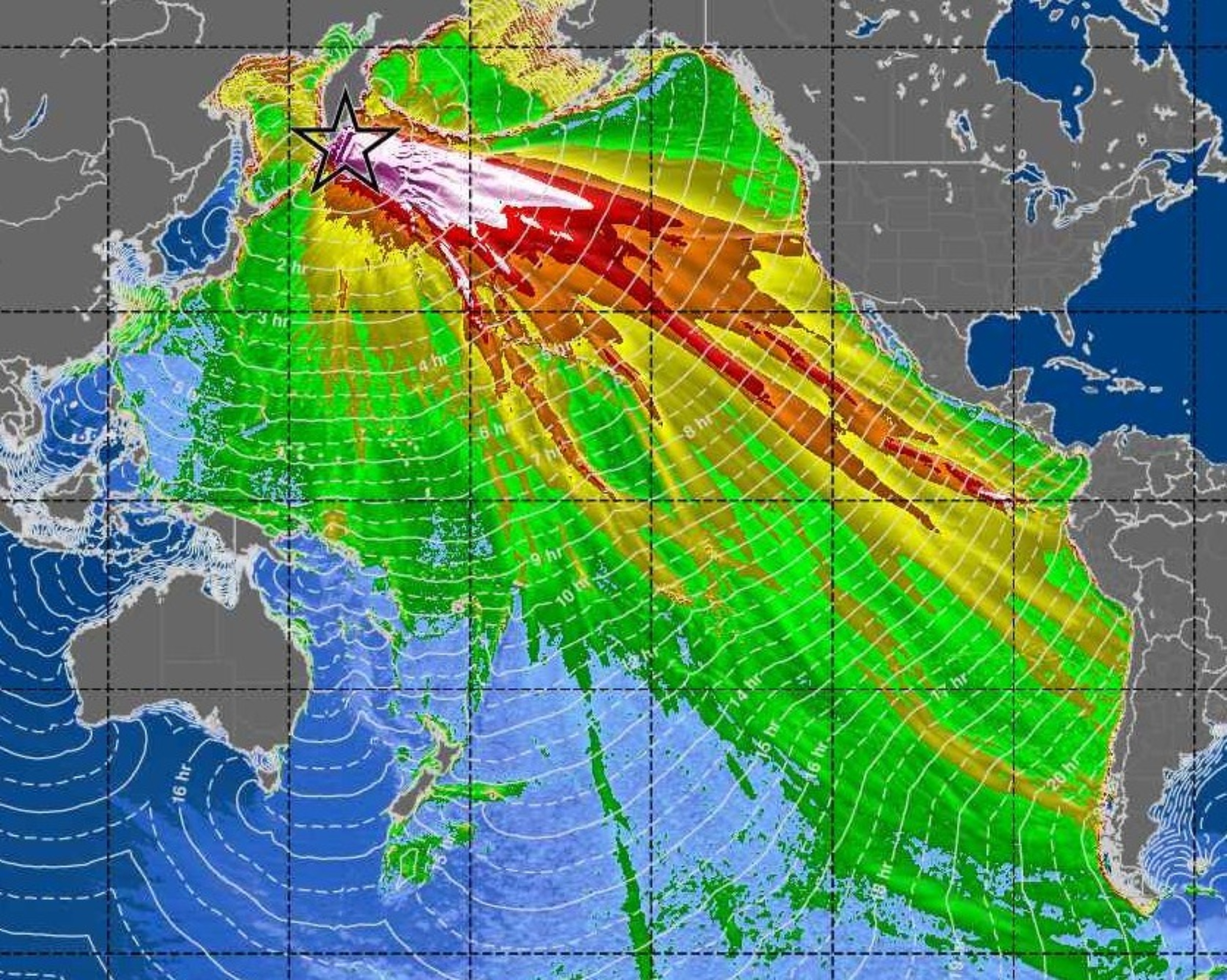
SWOT Satellite Captures High-Resolution Images of Pacific Tsunami, Revealing Complex Wave Patterns
NASA and French space agency's SWOT satellite captured unprecedented high-resolution images of a Pacific-wide tsunami generated by a magnitu
 earth.com·6mo ago